Image

Municipality
Urriðavatn
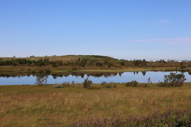
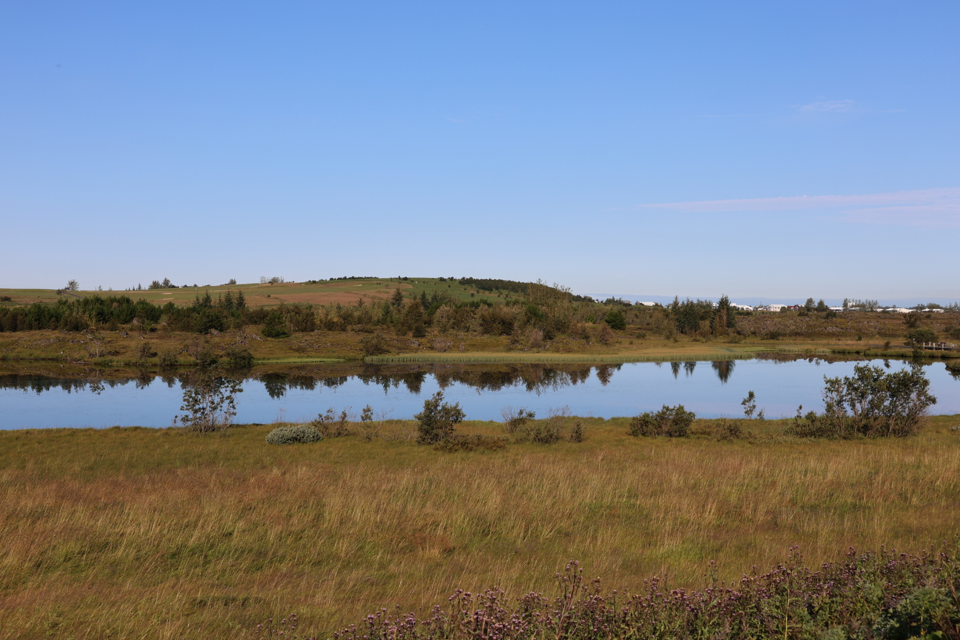
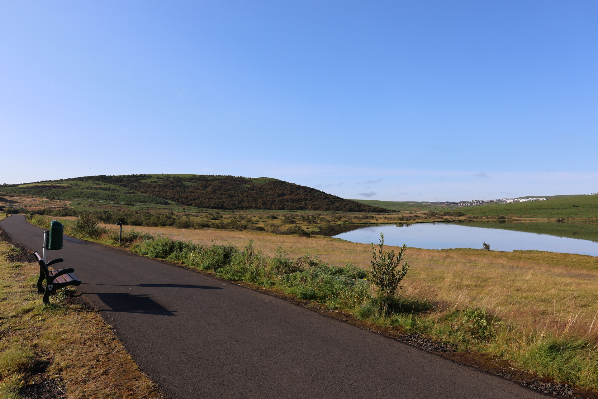
This 3 km walking route runs through the beautiful surroundings of Urriðavatn in Garðabær. Urriðavatn and its ecosystem are a true natural gem, with diverse vegetation and wildlife. The path around the lake is accessible and suitable for most people, whether starting from Urriðaholt or the parking areas at Kauptún. Part of the route is paved, but when you reach the wetlands and the Urriðavatn nature reserve, the path becomes a dirt and gravel trail through lush and varied landscapes. The lake is home to a variety of life, including trout, small aquatic creatures, and vascular plants. Urriðavatn is popular among residents of Urriðaholt and other visitors, offering an easy and enjoyable walk in a verdant environment.
Starting Point
Kauptún
Detailed Information
Duration
Distance
3.21km
Difficulty
Cumulative Elevation Gain
22,3m
Maximum Altitude
108,1m
Available
Access
Path Visibility
Path Lighting
Path Width
Path Dangers
Path Obstacles
Services
Gpx Start Point
64
.07,
-21.
91
Gpx Starting Point Elevation
103,1m
Cumulative Elevation Loss
22,3m
Maximum Altitude Coordination
64
.07,
-21.
91
Minimum Altitude
95,3m
Minimum Altitude Coordinations
64
.07,
-21.
91
Route Distance
3.207,7m

