Viðey
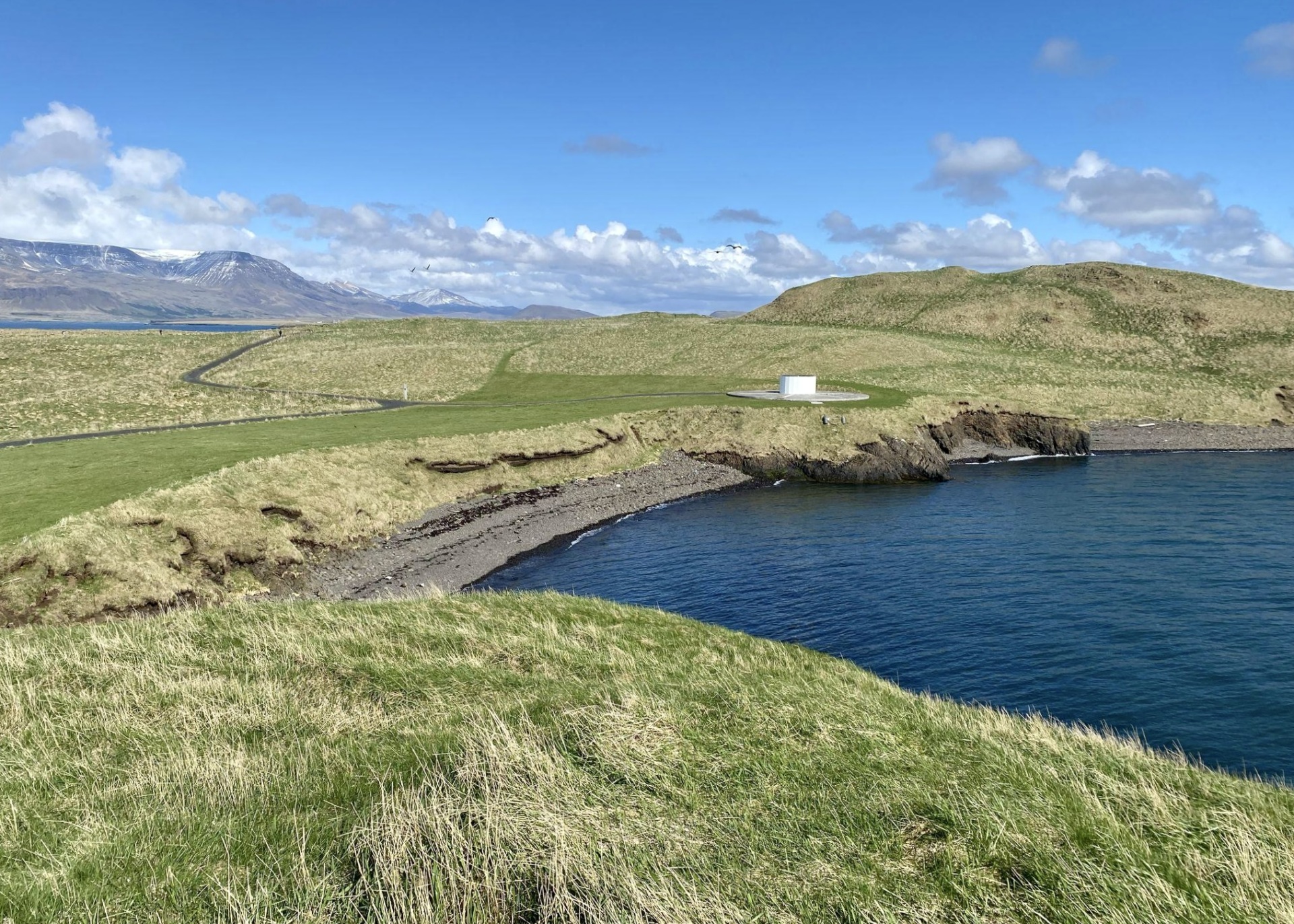
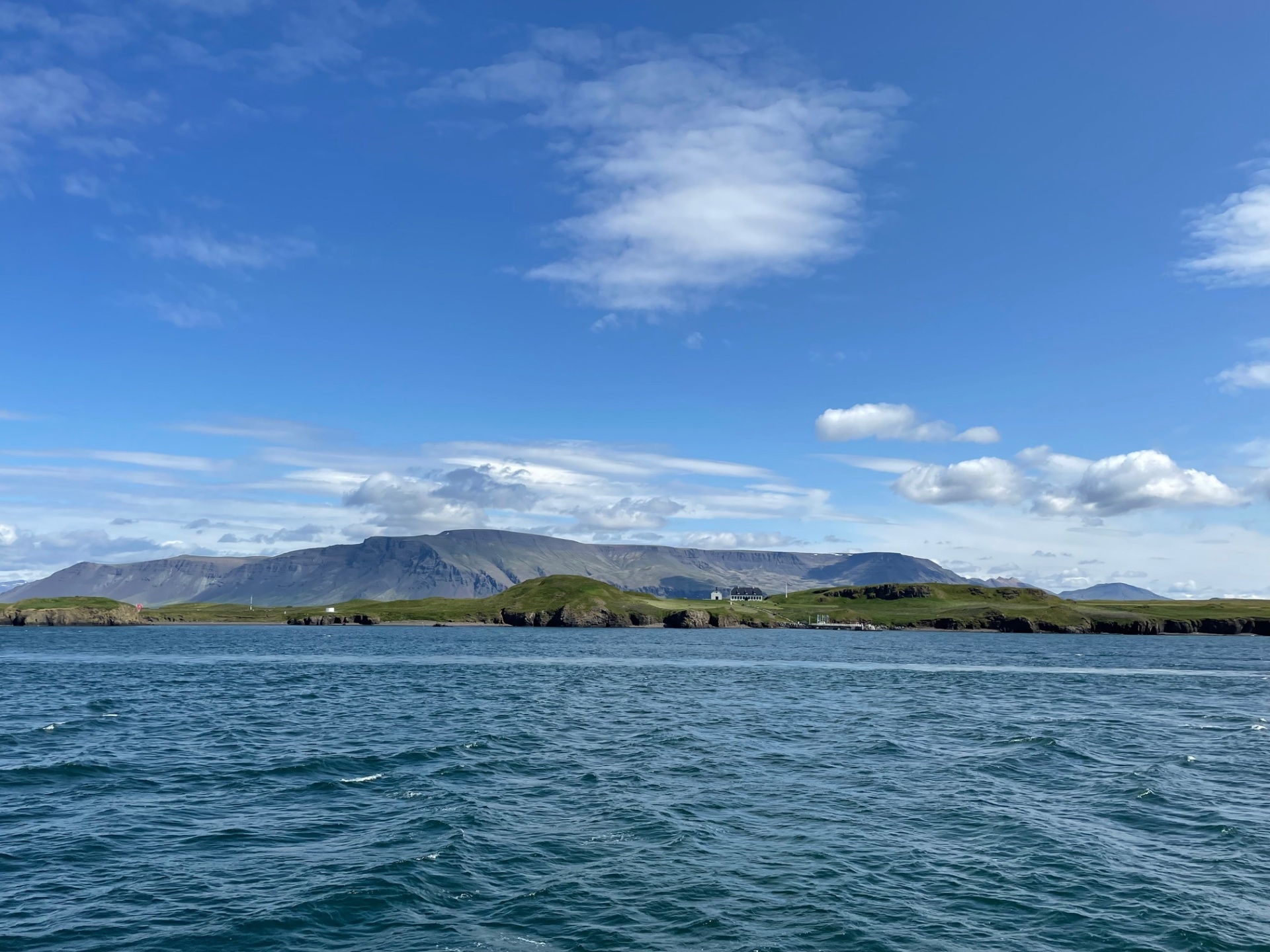
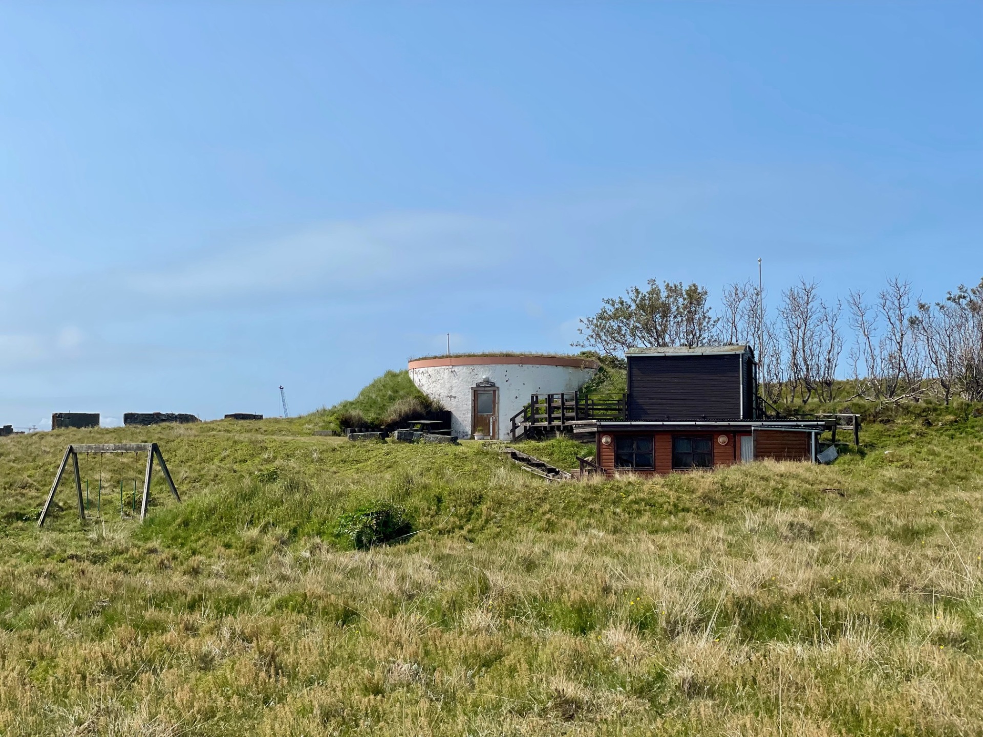
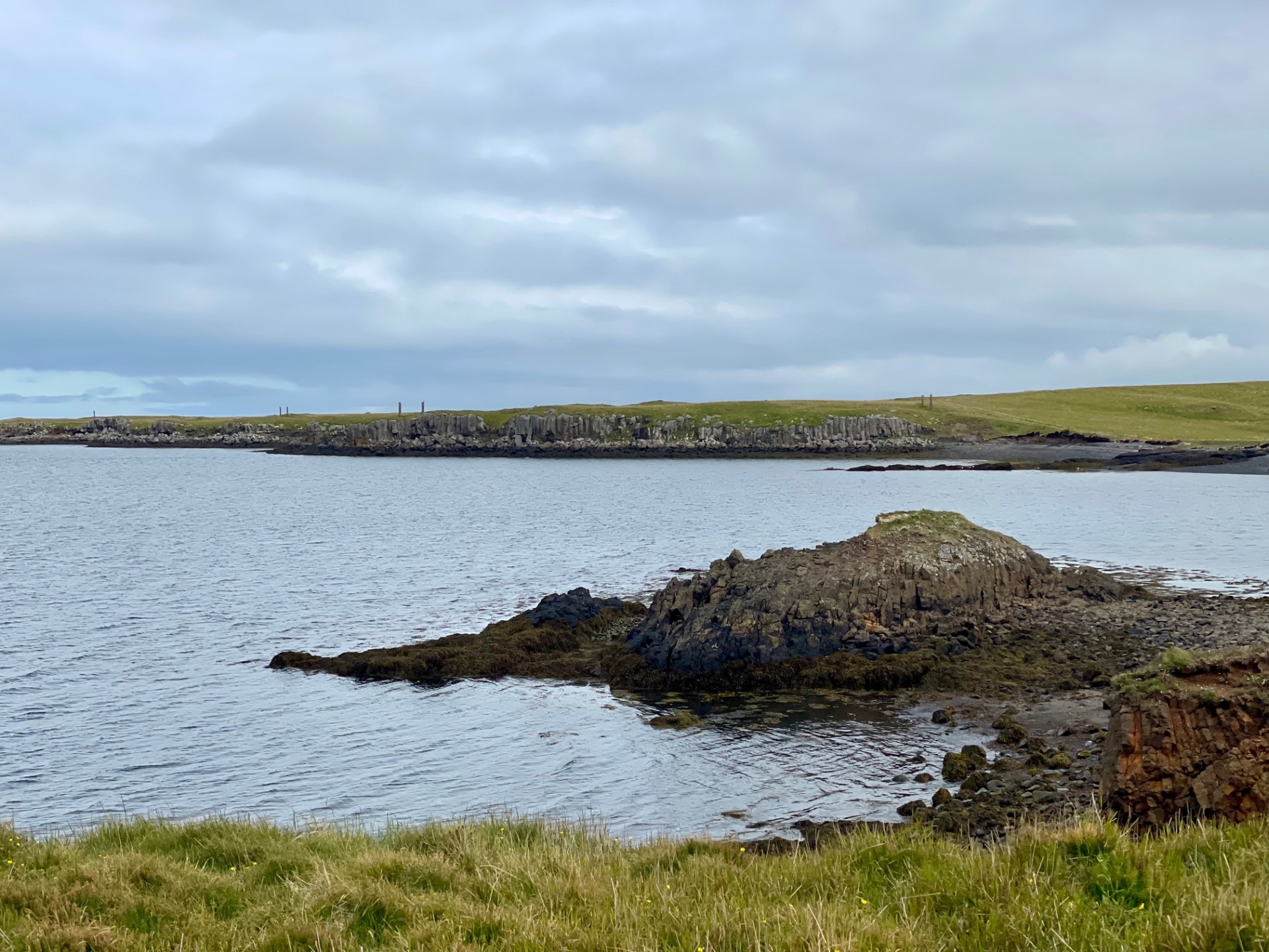
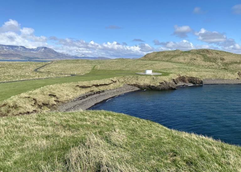
The walk begins at Viðey House (Viðeyjarstofa), where visitors can learn about the island’s history before setting off. From there, the path leads to the Imagine Peace Tower, which was erected by Yoko Ono in honor of John Lennon. From the Imagine Peace Tower, the route continues to Viðeyjarnaust, where a marked trail runs along the shoreline. The path first goes through Vesturey, where the artwork Áfangar (Milestones) by Richard Serra stretches in a circle around the island, consisting of tall basalt columns. After completing the walk around Vesturey, one returns to Heimaey, walking along the northern shoreline. Along the way, the route passes by the Water Tank, which was built in 1908 and later converted into a community center. Next, the path leads to the Old Schoolhouse, which today hosts an exhibition about nature and life in Viðey during the early 20th century. Finally, the trail leads to Kvennagönguhóll (“Women’s Walk Mound”), where legend has it that elf women live. From there, the path loops back to Viðey House, where it is ideal to enjoy refreshments after a pleasant walk.
Skarfabakki
Detailed Information
Duration
Distance
Difficulty
Cumulative Elevation Gain
Maximum Altitude
Available
Access
Path Visibility
Path Lighting
Path Width
Path Dangers
Path Obstacles
Services
Gpx Start Point
Gpx Starting Point Elevation
Cumulative Elevation Loss
Maximum Altitude Coordination
Minimum Altitude
Minimum Altitude Coordinations
Route Distance
Points of Interest
https://borgarsogusafn.is/en/videy-island
