Skip to main content
Út um allt ... höfuðborgarsvæðið
en
is
Home
Hiking Routes
Map of Hiking Routes
Bike Routes
Map of Bike Routes
Running Routes
Map of Running Routes
Outdoor Areas
Map of Outdoor Areas
Swimming Pools
Map of Swimming Pools
About the Website
How do I use the Website?
Visit Reykjavík
Forest
Image
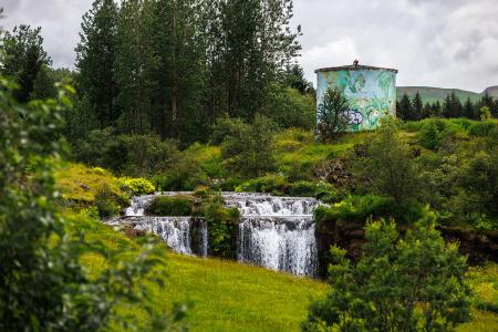
Varmá and Álafosskvos
Outdoor Area
Álafosskvos is a historic and scenic area featuring the Álafoss waterfall, trails through…
Municipality
Mosfellsbær
Image
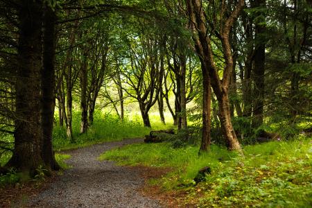
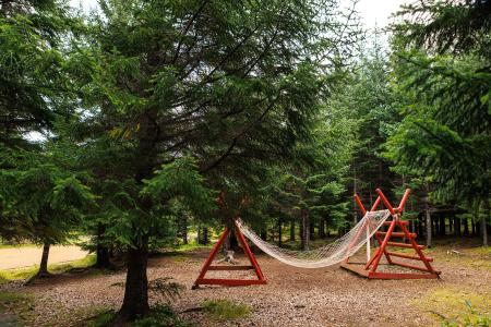
Reykjalundarskógur
Outdoor Area
Reykjalundaskógur by Varmá in Álafosskvos features enchanting trails perfect for walking.
Municipality
Mosfellsbær
Image
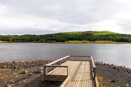
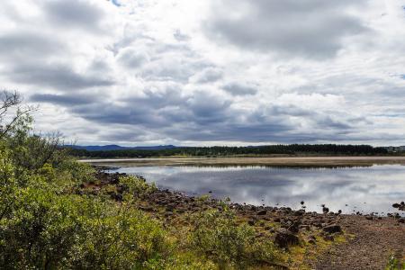
Hvaleyrarvatn
Outdoor Area
Hvaleyrarvatn is a beautiful lake surrounded by forest and vegetation. The area is ideal for…
Municipality
Hafnarfjörður
Image
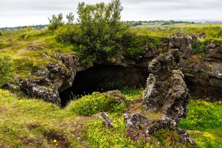
Maríuhellar
Outdoor Area
Maríuhellar in Heiðmörk refer to three caves located in Svínahraun, near the intersection of…
Municipality
Garðabær
Image
Heiðmörk
Outdoor Area
Heiðmörk is the largest and one of the most popular outdoor recreational areas in the capital…
Municipality
Reykjavík
Garðabær
Image
Rauðavatn
Outdoor Area
Rauðavatn is part of Austurheiðar, a vast region with numerous popular hiking trails,…
Municipality
Reykjavík
Image
Elliðaárdalur
Outdoor Area
Elliðaárdalurinn is one of the largest green areas within the urban core of Reykjavík and is…
Municipality
Reykjavík