Skip to main content
Út um allt ... höfuðborgarsvæðið
en
is
Enter a search string
Walk
(-)
Bike
Municipality
Reykjavík
Kópavogur
Garðabær
Seltjarnarnes
Path Surface
Other
Asphalt
Facet Path Surface
Duration
1 - 2 hours
(-)
30 minutes
(-)
30 - 60 minutes
3 - 4 hours
Facet Duration
Difficulty
Level 1
Level 2
Facet Difficulty
Area Access
Facet Area Access
Area services
Facet Area services
Area Type
Facet Area Type
Home
Bike and Hiking Routes
Map of Bike and Hiking Routes
Outdoor Areas
Map of Outdoor Areas
About the Website
How do I use the Website?
Visit Reykjavík
Image
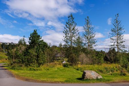
The Kópavogur Circle
Bike:
11.73km
Difficulty
Level 1
A scenic cycling route around Kópavogur, which includes cycling along Kársnes and Fossvogur.
Kópavogur
Image
Seltjarnarnes and golf course
Bike:
7.57km
Difficulty
Level 1
A cycling route that loops around Seltjarnarnes and the golf course, offering scenic coastal…
Seltjarnarnes
Image
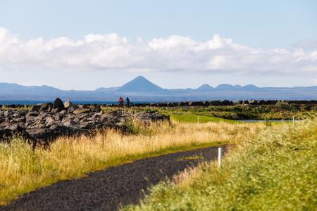
The Water Circle in Heiðmörk
Bike:
7.56km
Difficulty
Level 1
A scenic cycling route in Heiðmörk marked with blue posts, passing by lakes and educational…
Reykjavík
Image
The Garðabær Circle
Bike:
7.08km
Difficulty
Level 1
A scenic cycling route through the town of Garðabær.
Garðabær
Image
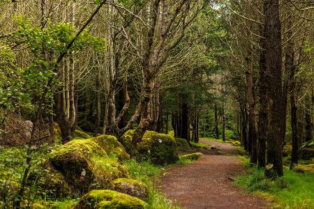
Öskjuhlíð
Bike:
5.99km
Difficulty
Level 2
This bike trail in Öskjuhlíð offers a scenic ride through forested areas and historical…
Reykjavík
Image
Fossvogsdalur
Bike:
6.27km
Difficulty
Level 1
Biking through Fossvogsdalur offers a scenic ride along lush trails, with vibrant birdlife and…
Kópavogur
Reykjavík