Skip to main content
Út um allt ... höfuðborgarsvæðið
en
is
Home
Bike and Hiking Routes
Map of Bike and Hiking Routes
Outdoor Areas
Map of Outdoor Areas
Sundlaugar
Map of Swimming Pools
About the Website
How do I use the Website?
Visit Reykjavík
Streams
A ford - Unbridged river/a stream, wetland or a swamp
Image
Running
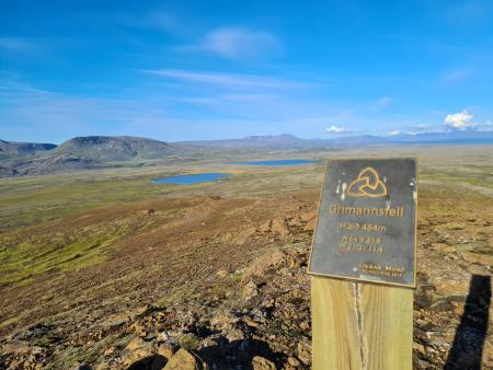
Grímannsfell from Gljúfrasteinn
A challenging mountain run on Grímannsfell, the highest mountain in the Mosfellsbær area (484…
Mosfellsbær
Image
Running
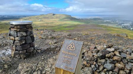
Lali and Reykjaborg
A short but steep mountain run over two of Mosfellsbær's marked summits, Reykjaborg (286 m)…
Mosfellsbær
Image
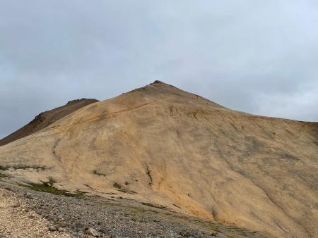
Móskarðshnjúkar
Walk:
8.03km
Difficulty
Level 3
Móskarðshnjúkar are two majestic peaks east of Esja, offering a challenging but well-marked…
Reykjavík
Image
Hafravatn
Walk:
5.69km
Difficulty
Level 1
Hafravatn is a beautiful lake in Mosfellsbær. It’s enjoyable to walk around the lake and take…
Mosfellsbær
Image
Grímannsfell
Walk:
5.54km
Difficulty
Level 2
Embark on a hike to Mosfellsbær's highest peak and be rewarded with breathtaking views from…
Mosfellsbær