Móskarðshnjúkar
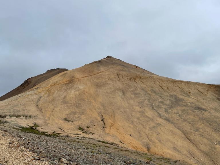
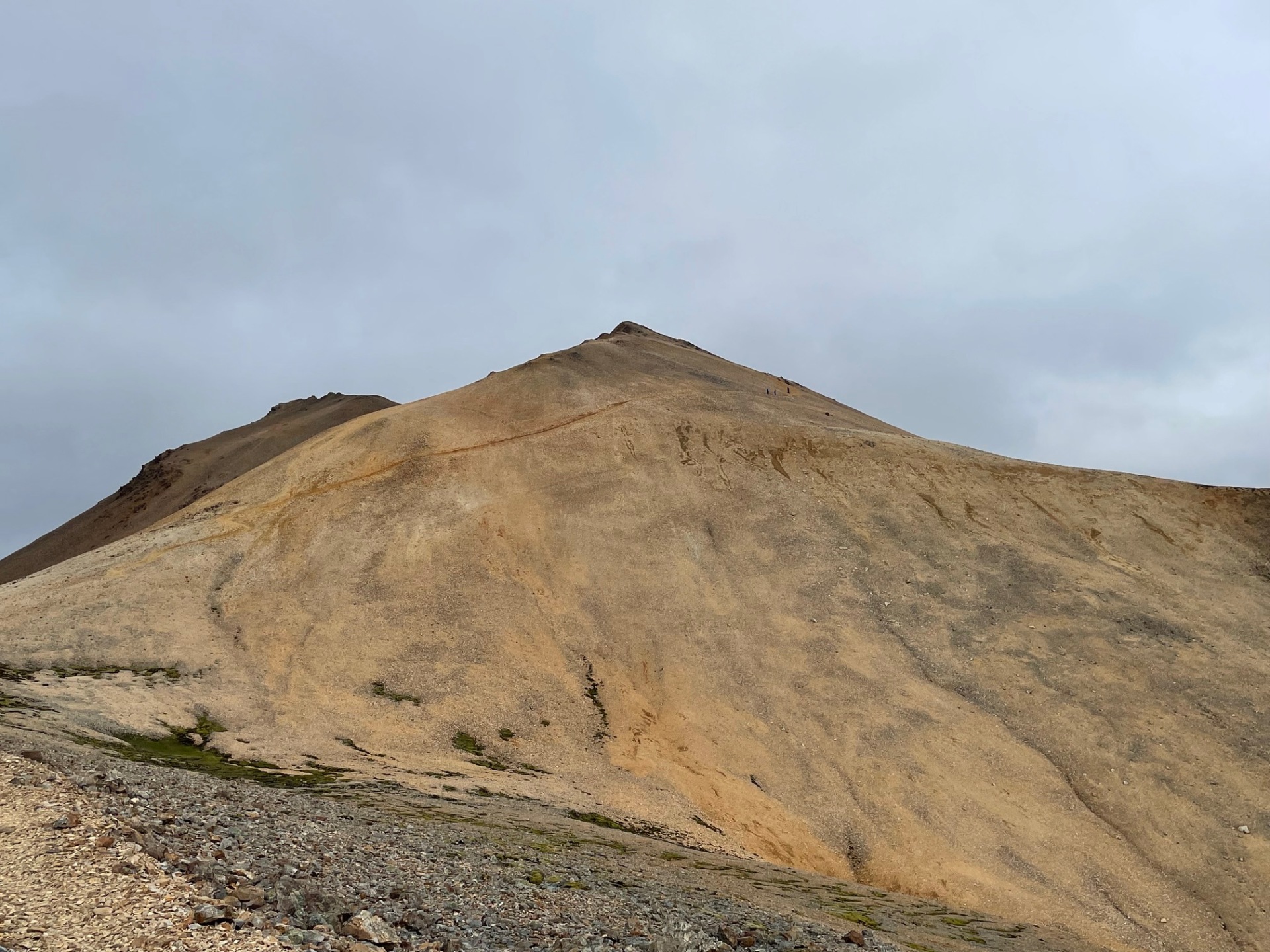
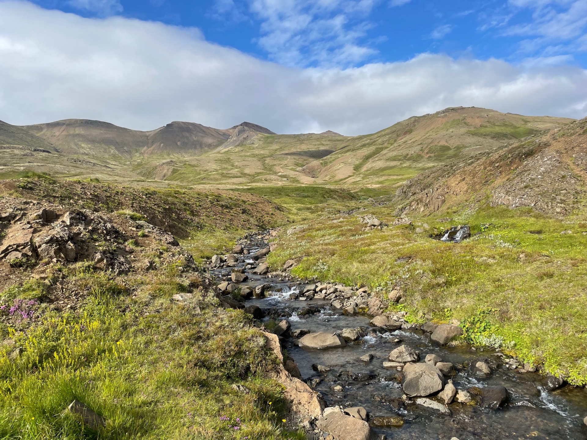
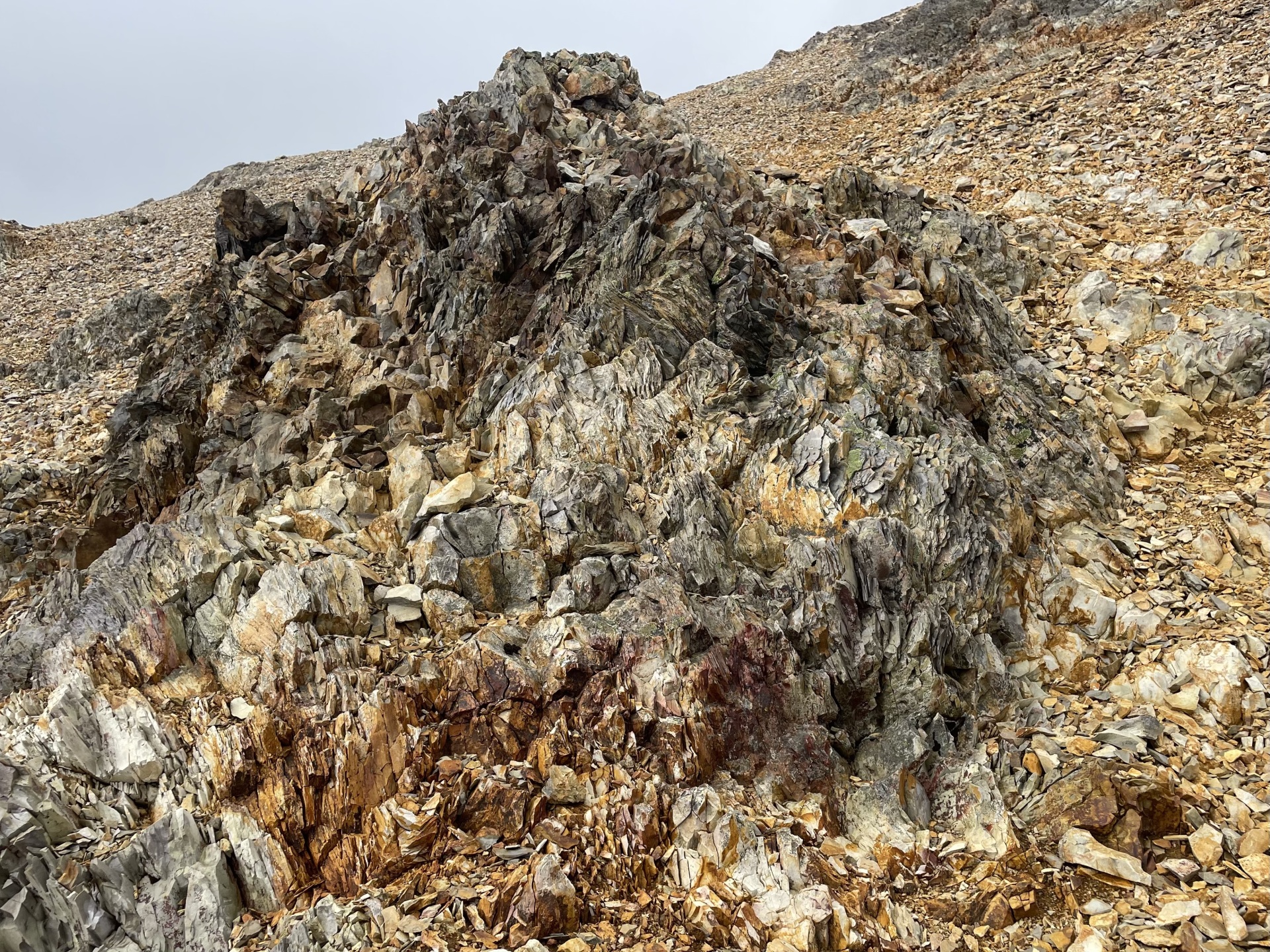
Móskarðshnjúkar are two majestic peaks east of Esja. The route is approximately 7 km round-trip with an elevation gain of around 660 meters. The hike begins at the parking lot by Skarðsá in Mosfellsdalur, where you cross a bridge over the river and follow a well-marked and clearly visible trail the entire way. Immediately after the bridge, a long and steady incline up the mountainside begins. Although the trail is accessible, it becomes loose underfoot at higher elevations, so caution is important. The hike is challenging but well worth the effort, offering breathtaking views over Mosfellsdalur, Esja, the capital area, and even Þingvellir and Reykjanes on a clear day. This hike is suitable for people in decent shape who are accustomed to uneven terrain. In winter, glacier gear and experience are necessary, as conditions can become difficult.
Parking lot by Skarðsá in Mosfellsdalur


