Hafravatn
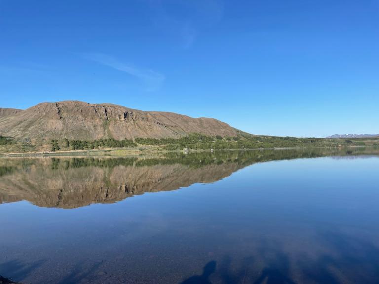
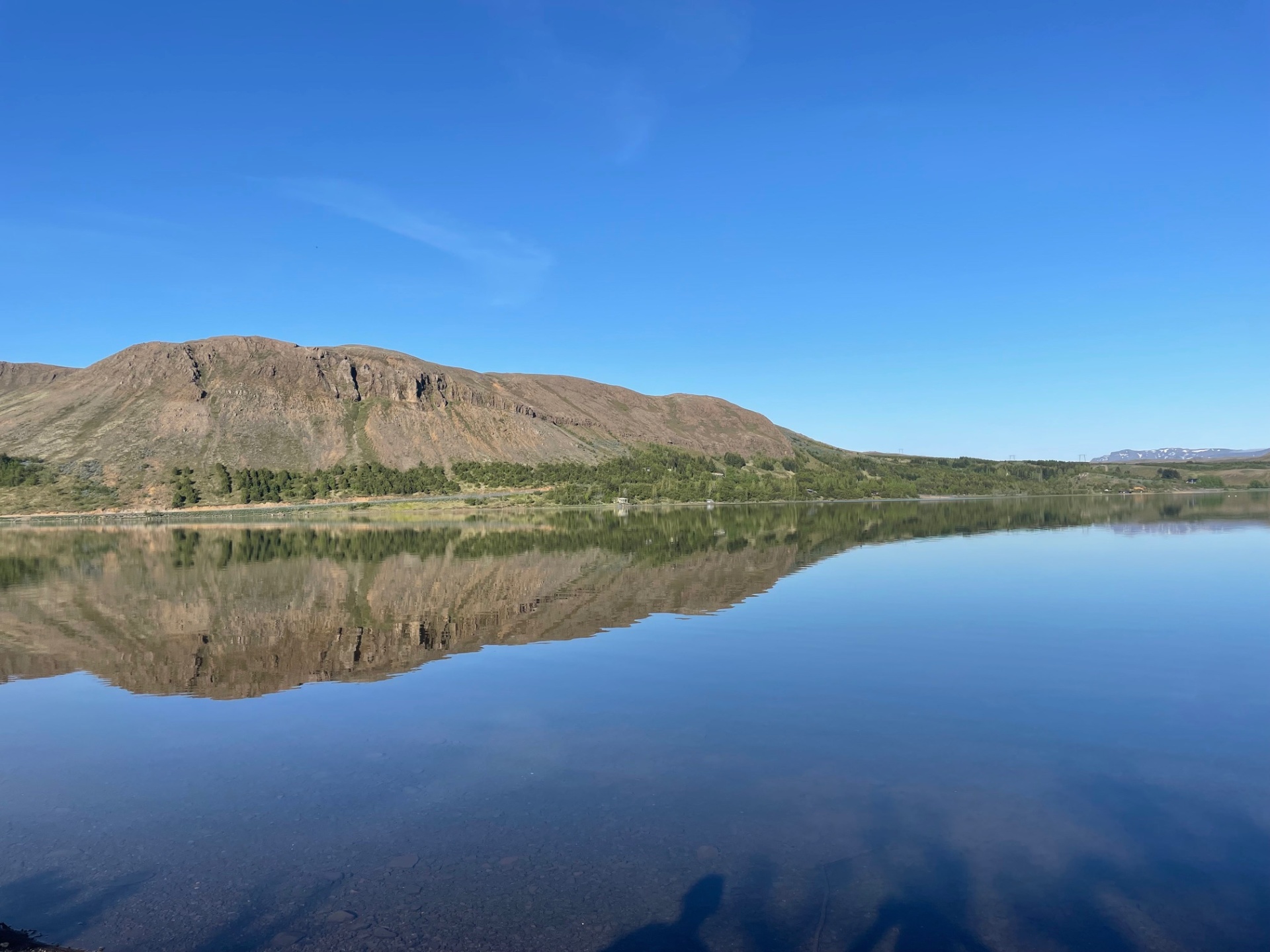
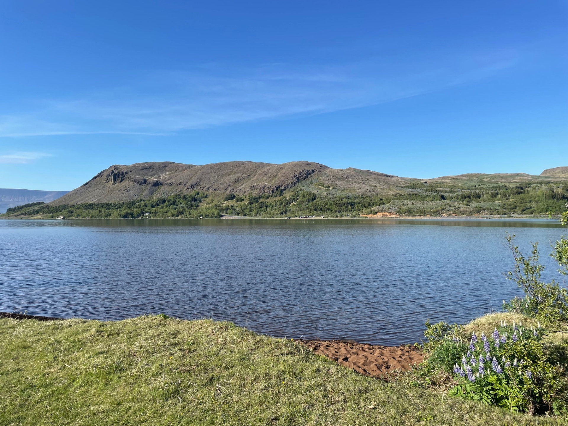
Hafravatn is a beautiful lake just east of Úlfarsfell and belongs to the municipality of Mosfellsbær. The trail around the lake is about 5 km long and is suitable for most hikers. The walk can be started either at Hafravatnsrétt or the scout outdoor recreation area at the southern end of the lake. At the beginning, you walk briefly along the road to the left before turning onto the path that follows the lake. For the most part, it is possible to walk along the shoreline, and along the way there are beautiful summer houses surrounded by lush vegetation. When you reach Úlfarsá, there is marshland and a small wooden bridge to cross. The trail continues along the shoreline into Vatnsvík, and then you can choose either to walk along the road back to the parking lot or challenge yourself by scrambling over the rocks along the shoreline.
Parking lot at the scout area or at Hafravatnsrétt

