Skip to main content
Út um allt ... höfuðborgarsvæðið
en
is
Home
Hiking Routes
Map of Hiking Routes
Bike Routes
Map of Bike Routes
Running Routes
Map of Running Routes
Outdoor Areas
Map of Outdoor Areas
Swimming Pools
Map of Swimming Pools
About the Website
How do I use the Website?
Visit Reykjavík
Level 1
A simple route suitable for a wide range of users.
Image
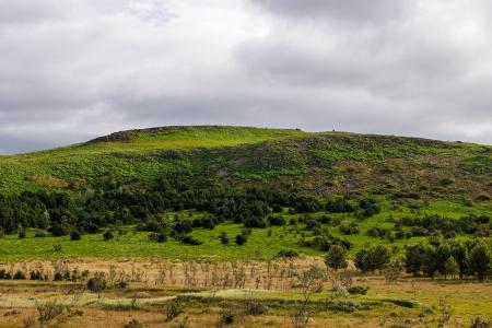
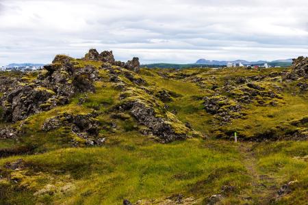
Stórhöfði
Walk:
4.79km
Difficulty
Level 1
The Stórhöfði loop near Hvaleyrarvatn is a family-friendly hike with scenic views of Helgafell…
Hafnarfjörður
Image
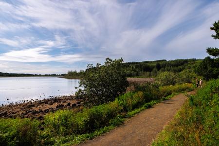
Hvaleyrarvatn
Walk:
1.96km
Difficulty
Level 1
Hvaleyrarvatn is a stunning outdoor area with numerous walking trails, including a short and…
Hafnarfjörður
Image
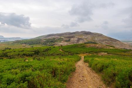
Helgafell in Mosfellsbær
Walk:
1.89km
Difficulty
Level 1
The hike to Helgafell is a short and enjoyable trek, offering scenic views of Esja,…
Mosfellsbær
Image
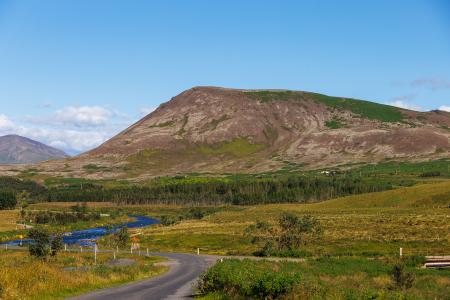
Mosfell
Walk:
3.75km
Difficulty
Level 1
The path up Mosfell is a well-marked and family-friendly circular hiking route with scenic…
Mosfellsbær
Image
Fógetastígur in Gálgahraun
Walk:
4.17km
Difficulty
Level 1
A stunning walk around the Gálgahraun lava field, where geological formations, birdlife, and…
Garðabær
Image
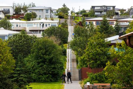
Himnastiginn, Víghóll and Heljarslóð
Walk:
3.46km
Difficulty
Level 1
The route from Digraneskirkja to Víghóll is a scenic and historically rich hike with 207 steps…
Kópavogur
Image
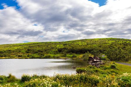
Guðmundarlundur and Elliðavatn
Walk:
5.01km
Difficulty
Level 1
This circular hiking route, starting at Guðmundarlundur, goes around the uninhabited…
Kópavogur
Image
Fossvogsdalur
Walk:
6.27km
Difficulty
Level 1
The trail provides a great insight into the nature and history of this sheltered valley.
Kópavogur
Reykjavík
Image
Vífilsstaðavatn
Walk:
2.62km
Difficulty
Level 1
A short and enjoyable walking trail around Vífilsstaðavatn, perfect for anyone looking to…
Garðabær
Pagination
First page
« First
Previous page
‹‹
Page
1
Page
2