Skip to main content
Út um allt ... höfuðborgarsvæðið
en
is
Enter a search string
(-)
Walk
Bike
Municipality
(-)
Reykjavík
Mosfellsbær
Garðabær
Kópavogur
Hafnarfjörður
Path Surface
Other
Asphalt
Facet Path Surface
Duration
30 - 60 minutes
1 - 2 hours
Facet Duration
Difficulty
(-)
Level 1
Level 2
For Everybody
Level 3
Facet Difficulty
Area Access
Facet Area Access
Area services
Facet Area services
Area Type
Facet Area Type
Home
Bike and Hiking Routes
Map of Bike and Hiking Routes
Outdoor Areas
Map of Outdoor Areas
About the Website
How do I use the Website?
Visit Reykjavík
Image
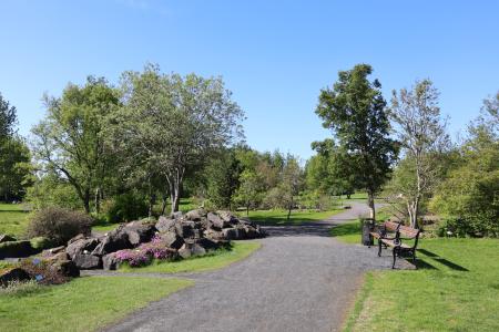
Laugardalur
Walk:
2.92km
Difficulty
Level 1
A light and accessible walking route that starts at Laugardalslaug Swimming Pool. The path…
Reykjavík
Image
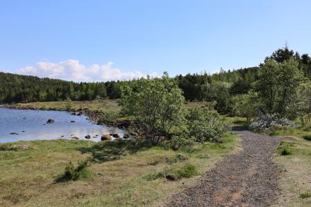
Reynisvatn
Walk:
1.49km
Difficulty
Level 1
A light and beautiful walking trail in a peaceful environment by Reynisvatn, east of…
Reykjavík
Image
Úlfarsfell from Skarhólabraut
Walk:
3.55km
Difficulty
Level 1
A well-marked and family-friendly hiking trail from Skarhólabraut up to the top of Úlfarsfell…
Mosfellsbær
Reykjavík
Image
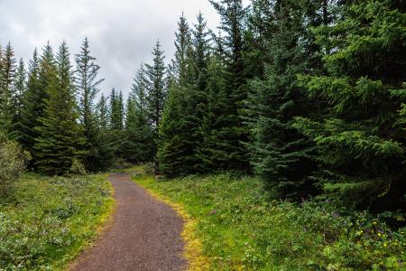
The Forest Circle in Heiðmörk
Walk:
3.50km
Difficulty
Level 1
The Forest Circle in Heiðmörk is a highly enjoyable and family-friendly hiking trail, spanning…
Reykjavík
Image
The Elliðaárdalur Circle
Walk:
2.48km
Difficulty
Level 1
A perfect family walk through the beautiful Hólmi area in Elliðaárdalur, offering scenic…
Reykjavík
Image
Úlfarsfell
Walk:
4.34km
Difficulty
Level 1
Úlfarsfell is a popular and easily accessible hiking destination on the border of Reykjavík…
Mosfellsbær
Reykjavík
Image
Fossvogsdalur
Walk:
6.27km
Difficulty
Level 1
The trail provides a great insight into the nature and history of this sheltered valley.
Kópavogur
Reykjavík