Skip to main content
Út um allt ... höfuðborgarsvæðið
en
is
Home
Hiking Routes
Map of Hiking Routes
Bike Routes
Map of Bike Routes
Running Routes
Map of Running Routes
Outdoor Areas
Map of Outdoor Areas
Swimming Pools
Map of Swimming Pools
About the Website
How do I use the Website?
Visit Reykjavík
Road System
Accessibility to the road
Image
The Sun Circle in Heiðmörk
Walk:
5.69km
Difficulty
Level 2
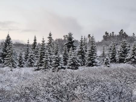
The Sun Circle is a hiking route near Vífilsstaðavatn, located in the scenic Heiðmörk area.
Garðabær
Image
Seltjarnarnes and golf course
Bike:
7.57km
Difficulty
Level 1
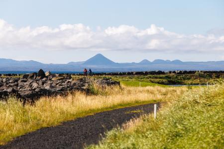
A cycling route that loops around Seltjarnarnes and the golf course, offering scenic coastal…
Seltjarnarnes
Image
Elliðaárdalur
Bike:
8.19km
Difficulty
Level 2
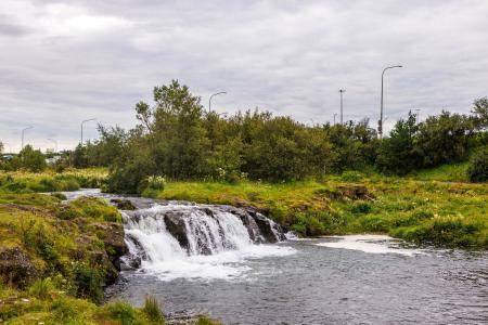
A bike tour through Elliðaárdalur with scenic river paths, surrounded by lush greenery and…
Reykjavík
Image
The Kópavogur Circle
Bike:
11.73km
Difficulty
Level 1
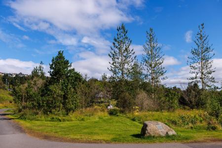
A scenic cycling route around Kópavogur, which includes cycling along Kársnes and Fossvogur.
Kópavogur
Image
The Reykjavík Circle
Bike:
18.53km
Difficulty
Level 1
A fun cycling loop around Reykjavík, passing by many of the city's main landmarks.
Reykjavík
Image
Fossvogur to Gljúfrasteinn
Bike:
45.77km
Difficulty
Level 3
A challenging yet stunning cycling route, spanning from Kópavogur to Mosfellsbær.
Mosfellsbær
Reykjavík
Kópavogur
Pagination
First page
« First
Previous page
‹‹
Page
1
Page
2
Page
3