Skip to main content
Út um allt ... höfuðborgarsvæðið
en
is
Home
Bike and Hiking Routes
Map of Bike and Hiking Routes
Outdoor Areas
Map of Outdoor Areas
Sundlaugar
Map of Swimming Pools
About the Website
How do I use the Website?
Visit Reykjavík
Reykjavík
Image
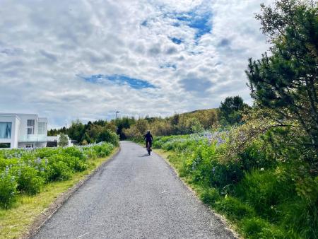
Cycling in Grafarholt and Úlfarsárdalur
Bike:
8.56km
Difficulty
Level 1
A light and enjoyable cycling route from Dalslaug, passing through Grafarholt and…
Reykjavík
Image
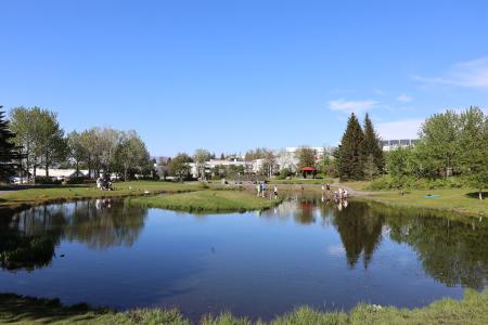
Seljatjörn
Outdoor Area
Seljatjörn is an outdoor gem in the heart of the Seljahverfi neighborhood in Breiðholt. The…
Municipality
Reykjavík
Image
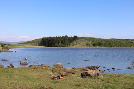
Reynisvatn
Outdoor Area
Reynisvatn is one of many small lakes found within the Greater Reykjavík Area. The surrounding…
Municipality
Reykjavík
Image
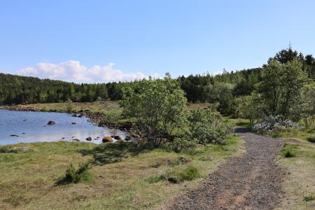
Reynisvatn
Walk:
1.49km
Difficulty
Level 1
A light and beautiful walking trail in a peaceful environment by Reynisvatn, east of…
Reykjavík
Image
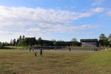
Klambratún
Outdoor Area
Klambratún is one of the larger public parks in Reykjavík and is a very popular outdoor…
Municipality
Reykjavík
Image
Laugardalur
Walk:
2.92km
Difficulty
Level 1
A light and accessible walking route that starts at Laugardalslaug Swimming Pool. The path…
Reykjavík
Image
Æðisíða
Walk:
3.06km
Difficulty
For Everybody
An easy and enjoyable walking path along Ægisíða that starts at the Vesturbær Swimming Pool…
Reykjavík
Image
The Hjalli Circle in Heiðmörk
Walk:
7.98km
Difficulty
Level 2
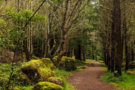
The Hjalli Circle in Heiðmörk runs through diverse landscapes, including lava fields and birch…
Reykjavík
Image
Strípur in Heiðmörk
Walk:
4.28km
Difficulty
Level 2
Strípshringur is a trail in Heiðmörk which runs through well-vegetated forested areas and open…
Reykjavík
Image
Fossvogsdalur
Bike:
6.27km
Difficulty
Level 1
Biking through Fossvogsdalur offers a scenic ride along lush trails, with vibrant birdlife and…
Kópavogur
Reykjavík
Image
Öskjuhlíð
Bike:
5.99km
Difficulty
Level 2
This bike trail in Öskjuhlíð offers a scenic ride through forested areas and historical…
Reykjavík
Image
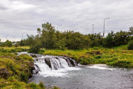
The Water Circle in Heiðmörk
Bike:
7.56km
Difficulty
Level 1
A scenic cycling route in Heiðmörk marked with blue posts, passing by lakes and educational…
Reykjavík
Image
Elliðaárdalur
Bike:
8.19km
Difficulty
Level 2
A bike tour through Elliðaárdalur with scenic river paths, surrounded by lush greenery and…
Reykjavík
Image
The Reykjavík Circle
Bike:
18.53km
Difficulty
Level 1
A fun cycling loop around Reykjavík, passing by many of the city's main landmarks.
Reykjavík
Image
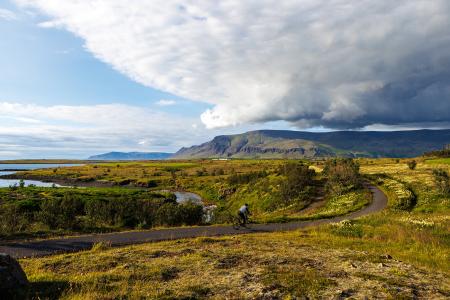
Fossvogur to Gljúfrasteinn
Bike:
45.77km
Difficulty
Level 3
A challenging yet stunning cycling route, spanning from Kópavogur to Mosfellsbær.
Mosfellsbær
Reykjavík
Kópavogur
Image
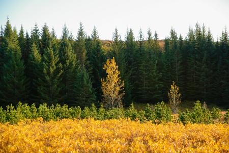
Heiðmörk
Outdoor Area
Heiðmörk is the largest and one of the most popular outdoor recreational areas in the capital…
Municipality
Reykjavík
Garðabær
Image
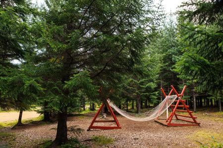
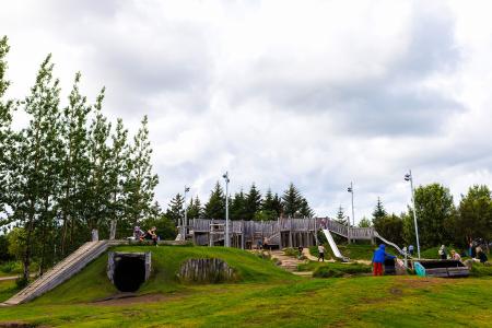
Gufunesbær recreational park
Outdoor Area
The recreational park at Gufunesbær is a play area that features, among other things, water…
Municipality
Reykjavík
Image
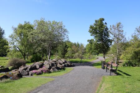
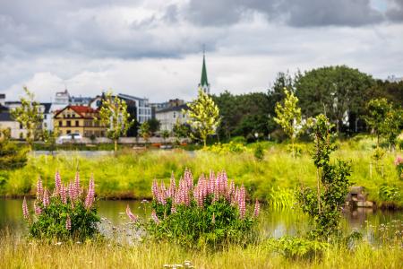
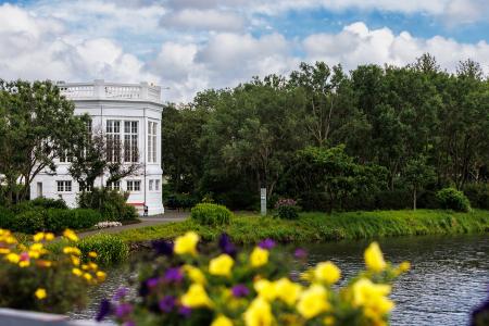
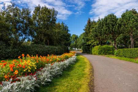
Hljómskálagarðurinn
Outdoor Area
Tjörnin and Hljómskálagarðurinn are beloved landmarks in Reykjavík, offering a unique…
Municipality
Reykjavík
Image
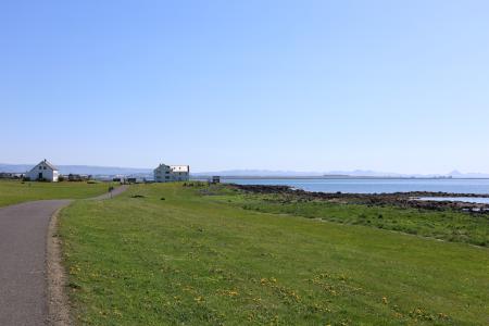
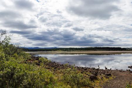
Rauðavatn
Outdoor Area
Rauðavatn is part of Austurheiðar, a vast region with numerous popular hiking trails,…
Municipality
Reykjavík
Image
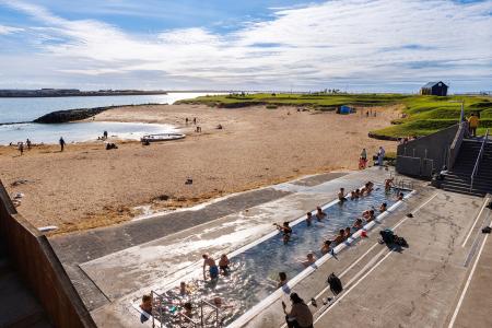
Nauthólsvík
Outdoor Area
Nauthólsvík Geothermal Beach is a paradise for people who love splashing around in the ocean…
Municipality
Reykjavík
Image
Úlfarsfell
Walk:
4.34km
Difficulty
Level 1
Úlfarsfell is a popular and easily accessible hiking destination on the border of Reykjavík…
Mosfellsbær
Reykjavík
Image
Laugardalur
Outdoor Area
Laugardalur valley and park is undoubtedly one of the most popular outdoor areas of Reykjavik,…
Municipality
Reykjavík
Image
Elliðaárdalur
Outdoor Area
Elliðaárdalurinn is one of the largest green areas within the urban core of Reykjavík and is…
Municipality
Reykjavík
Image
The Elliðaárdalur Circle
Walk:
2.48km
Difficulty
Level 1
A perfect family walk through the beautiful Hólmi area in Elliðaárdalur, offering scenic…
Reykjavík
Pagination
First page
« First
Previous page
‹‹
Page
1
Page
2
Page
3
Next page
››
Last page
Last »