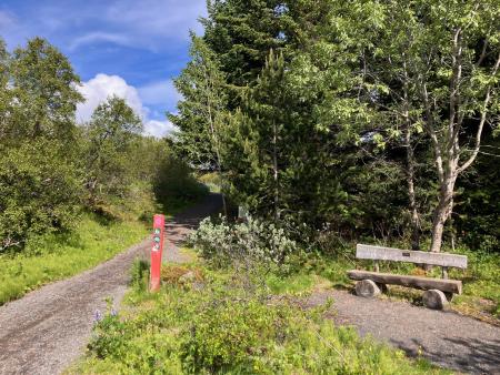
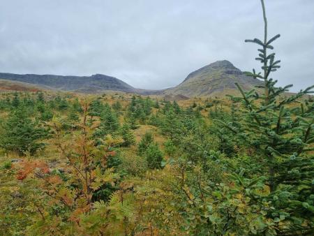
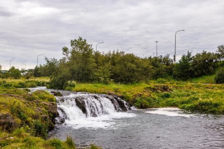
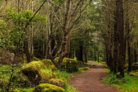
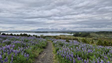
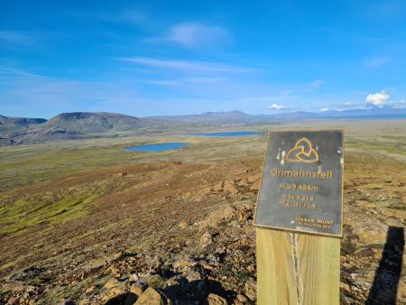
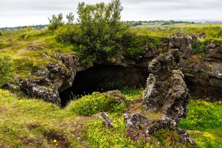
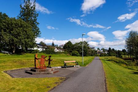
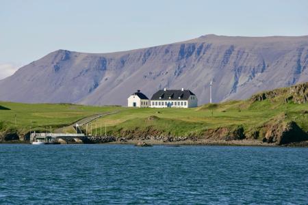
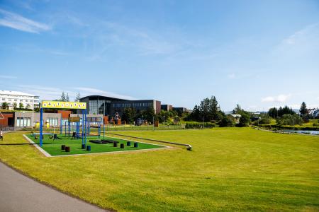
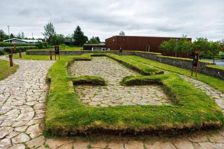
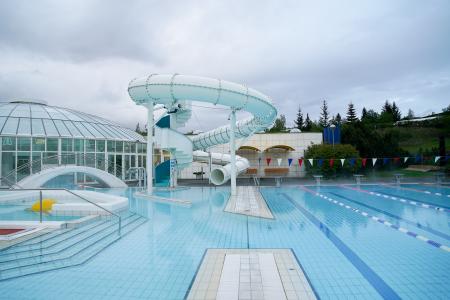
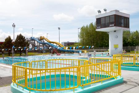
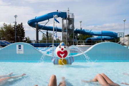
Hiking Routes in the Capital Area Map of Bike and Hiking Routes Map of Running Routes Map of Outdoor Areas Map of Swimming Pools Image Norðmannahringur í Heiðmörk Walk: 2.06km Difficulty Level 1 The Norðmannahringur (Norwegian Trail) is a nearly 2 km circular walking route through a… Reykjavík Image Guðmundarlundur and Elliðavatn Walk: 5.01km Difficulty Level 1 This circular hiking route, starting at Guðmundarlundur, goes around the uninhabited… Kópavogur Image Esjuhlíðar Walk: 1.86km Difficulty Level 2 A nearly 2-kilometre walking trail through the diverse landscapes of the slopes of Mount Esja… Reykjavík Image Selfjall and Sandfell Walk: 6.19km Difficulty Level 2 Selfjall and Sandfell are easily accessible and scenic hiking destinations on the outskirts of… Kópavogur All Hiking Routes Bike Routes in the Capital Area Map of Bike and Hiking Routes Map of Running Routes Map of Outdoor Areas Map of Swimming Pools Image Cycling through Hafnarfjörður Bike: 18.04km Difficulty Level 2 Cycling route from Ásvallalaug in Hafnarfjörður via Hvaleyrarvatn, featuring both paved and… Hafnarfjörður Image Elliðaárdalur Bike: 8.19km Difficulty Level 2 A bike tour through Elliðaárdalur with scenic river paths, surrounded by lush greenery and… Reykjavík Image Öskjuhlíð Bike: 5.99km Difficulty Level 2 This bike trail in Öskjuhlíð offers a scenic ride through forested areas and historical… Reykjavík Image The Water Circle in Heiðmörk Bike: 7.56km Difficulty Level 1 A scenic cycling route in Heiðmörk marked with blue posts, passing by lakes and educational… Reykjavík All Bike Routes Running Routes in the Capital Area Map of Bike and Hiking Routes Map of Running Routes Map of Outdoor Areas Map of Swimming Pools Image The little Ríkishringur in Heiðmörk Running: 5.99km Difficulty Level 1 A short, easy trail run in Heiðmörk, a shorter version of the well-known Ríkishringur. An… Reykjavík Image Elliðavatn Circle from Árbæjarlaug Running: 12.65km Difficulty Level 2 A varied run around Elliðavatn, from Árbæjarlaug via Norðlingaholt, Rauðhólar and Vatnsendi… Reykjavík Kópavogur Image Grímannsfell from Gljúfrasteinn Running: 10.54km Difficulty Level 3 A challenging mountain run on Grímannsfell, the highest mountain in the Mosfellsbær area (484… Mosfellsbær Image Hobbitastígur og Vífilshlíð – stutt útgáfa Running: 5.22km Difficulty Level 1 A short, easy beginner's version of the Hobbitastígur loop. An approximately 5.5 km loop by… Garðabær All Running Routes Outdoor areas in the Capital Area Map of Bike and Hiking Routes Map of Running Routes Map of Outdoor Areas Map of Swimming Pools Image Kópavogsdalur Outdoor Area Kópavogsdalur is a fantastic outdoor recreational area with the Kópavogslækur stream running… Municipality Kópavogur Image Viðey Outdoor Area Viðey Island is a natural paradise that holds a special place in the hearts of Reykjavík… Municipality Reykjavík Image Hamarkotslækur Outdoor Area Hamarskotslækur, a picturesque stream with rich birdlife and scenic walking paths, flows… Municipality Hafnarfjörður Image Hofsstaðir Outdoor Area Hofsstaðir in Garðabær is an important archaeological site featuring the remains of a Viking… Municipality Garðabær All Outdoor Areas Swimming pools in the Capital Area Map of Bike and Hiking Routes Map of Running Routes Map of Outdoor Areas Map of Swimming Pools Image Árbæjarlaug Swimming Pools Árbæjarlaug Swimming Pool is one of Reykjavík's most popular family pools, renowned for its bright, spacious design a Sveitarfélag Reykjavík Image Breiðholtslaug Swimming Pools Breiðholtslaug Swimming Pool was originally built as a school swimming pool but has since evolved into a welcoming, f Sveitarfélag Reykjavík Image Dalslaug Swimming Pools Dalslaug Swimming Pool is Reykjavík's newest swimming pool. Sveitarfélag Reykjavík Image Grafarvogslaug Swimming Pools Grafarvogslaug Swimming Pool is a very popular neighbourhood pool, attracting families, fitness enthusiasts, and swim Sveitarfélag Reykjavík All Swimming Pools