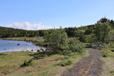
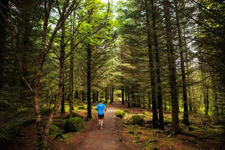
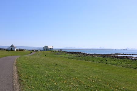
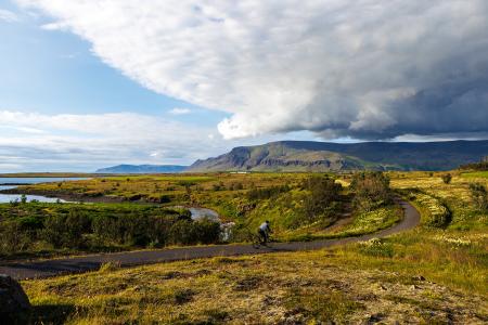
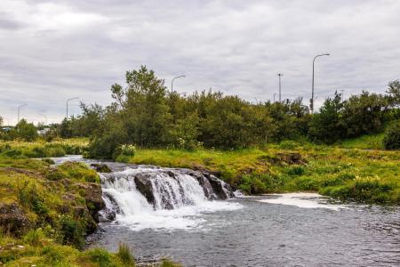
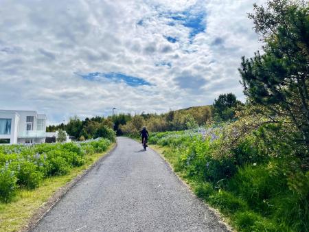
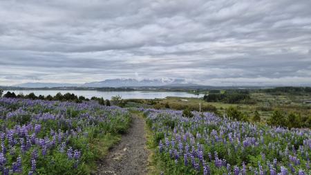
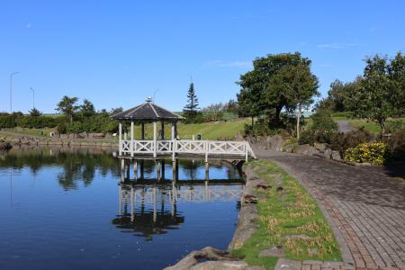
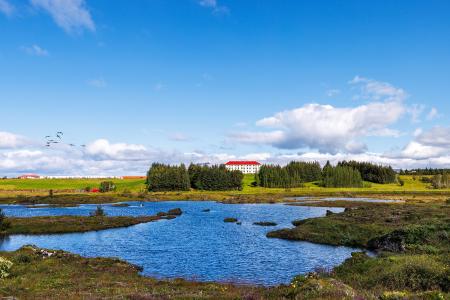
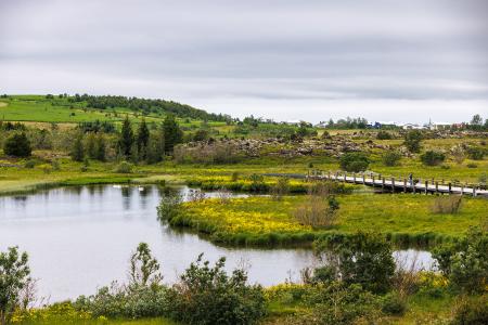
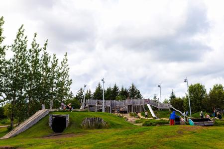
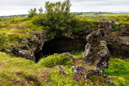
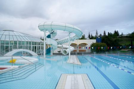
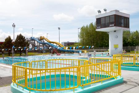
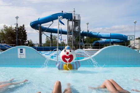
Hiking Routes in the Capital Area Map of Bike and Hiking Routes Map of Running Routes Map of Outdoor Areas Map of Swimming Pools Image Reynisvatn Walk: 1.49km Difficulty Level 1 A light and beautiful walking trail in a peaceful environment by Reynisvatn, east of… Reykjavík Image Strípur in Heiðmörk Walk: 4.28km Difficulty Level 2 Strípshringur is a trail in Heiðmörk which runs through well-vegetated forested areas and open… Reykjavík Image Öskjuhlíð Walk: 5.99km Difficulty Level 2 Öskjuhlíð is a unique recreational area near downtown Reykjavík with diverse nature and… Reykjavík Image Æðisíða Walk: 3.06km Difficulty For Everybody An easy and enjoyable walking path along Ægisíða that starts at the Vesturbær Swimming Pool… Reykjavík All Hiking Routes Bike Routes in the Capital Area Map of Bike and Hiking Routes Map of Running Routes Map of Outdoor Areas Map of Swimming Pools Image Fossvogur to Gljúfrasteinn Bike: 45.77km Difficulty Level 3 A challenging yet stunning cycling route, spanning from Kópavogur to Mosfellsbær. Mosfellsbær Reykjavík Kópavogur Image Elliðaárdalur Bike: 8.19km Difficulty Level 2 A bike tour through Elliðaárdalur with scenic river paths, surrounded by lush greenery and… Reykjavík Image Cycling in Grafarholt and Úlfarsárdalur Bike: 8.56km Difficulty Level 1 A light and enjoyable cycling route from Dalslaug, passing through Grafarholt and… Reykjavík Image Cycling through Hafnarfjörður Bike: 18.04km Difficulty Level 2 Cycling route from Ásvallalaug in Hafnarfjörður via Hvaleyrarvatn, featuring both paved and… Hafnarfjörður All Bike Routes Running Routes in the Capital Area Map of Bike and Hiking Routes Map of Running Routes Map of Outdoor Areas Map of Swimming Pools Image Hobbitastígur and Vífilsstaðahlíð Running: 8.15km Difficulty Level 1 An enjoyable trail run in Garðabær starting at the end of Vífilsstaðahlíð, traversing the… Garðabær Image The little Ríkishringur in Heiðmörk Running: 5.99km Difficulty Level 1 A short, easy trail run in Heiðmörk, a shorter version of the well-known Ríkishringur. An… Reykjavík Image Elliðaárdalur loop from Elliðaárstöð Running: 12.33km Difficulty Level 2 A varied run through Elliðaárdalur, one of the largest and most popular green areas in… Reykjavík Image Kópavogsdalur, Fossvogur and Kársnes from Kópavogslaug Running: 12.40km Difficulty Level 2 A varied run on paved paths linking three of Kópavogur's most popular outdoor areas:… Kópavogur All Running Routes Outdoor areas in the Capital Area Map of Bike and Hiking Routes Map of Running Routes Map of Outdoor Areas Map of Swimming Pools Image Vífilsstaðavatn Outdoor Area Vífilsstaðavatn, located in Heiðmörk, is a scenic and protected nature reserve with diverse… Municipality Garðabær Image Urriðavatn Outdoor Area Urriðavatn and its surrounding wetlands form a beautiful landscape with diverse vegetation and… Municipality Garðabær Image Gufunesbær recreational park Outdoor Area The recreational park at Gufunesbær is a play area that features, among other things, water… Municipality Reykjavík Image Maríuhellar Outdoor Area Maríuhellar in Heiðmörk refer to three caves located in Svínahraun, near the intersection of… Municipality Garðabær All Outdoor Areas Swimming pools in the Capital Area Map of Bike and Hiking Routes Map of Running Routes Map of Outdoor Areas Map of Swimming Pools Image Árbæjarlaug Swimming Pools Árbæjarlaug Swimming Pool is one of Reykjavík's most popular family pools, renowned for its bright, spacious design a Sveitarfélag Reykjavík Image Breiðholtslaug Swimming Pools Breiðholtslaug Swimming Pool was originally built as a school swimming pool but has since evolved into a welcoming, f Sveitarfélag Reykjavík Image Dalslaug Swimming Pools Dalslaug Swimming Pool is Reykjavík's newest swimming pool. Sveitarfélag Reykjavík Image Grafarvogslaug Swimming Pools Grafarvogslaug Swimming Pool is a very popular neighbourhood pool, attracting families, fitness enthusiasts, and swim Sveitarfélag Reykjavík All Swimming Pools