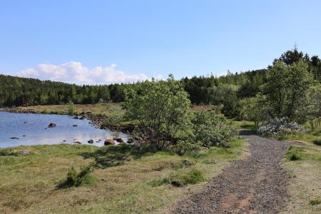
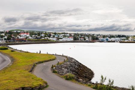
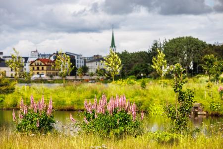
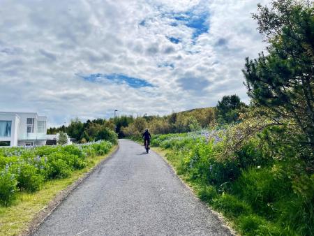
Hiking Routes in the Capital Area Map of Bike and Hiking Routes Map of Outdoor Areas Image Hafravatn Walk: 5.69km Difficulty Level 1 Hafravatn is a beautiful lake in Mosfellsbær. It’s enjoyable to walk around the lake and take… Mosfellsbær Image Reynisvatn Walk: 1.49km Difficulty Level 1 A light and beautiful walking trail in a peaceful environment by Reynisvatn, east of… Reykjavík Image Strípur in Heiðmörk Walk: 4.28km Difficulty Level 2 Strípshringur is a trail in Heiðmörk which runs through well-vegetated forested areas and open… Reykjavík Image Strandstígur Walk: 4.07km Difficulty For Everybody Strandstígurinn is a scenic walking path along Hafnarfjörður harbor, featuring beautiful views… Hafnarfjörður All bike and hiking routes Bike Routes in the Capital Area Map of Bike and Hiking Routes Map of Outdoor Areas Image The Reykjavík Circle Bike: 18.53km Difficulty Level 1 A fun cycling loop around Reykjavík, passing by many of the city's main landmarks. Reykjavík Image The Garðabær Circle Bike: 7.08km Difficulty Level 1 A scenic cycling route through the town of Garðabær. Garðabær Image The Linda-Sala Bike Route Bike: 9.69km Difficulty Level 2 A diverse 9 km cycling route through the Linda and Sala neighborhoods, within the historic… Kópavogur Image Cycling in Grafarholt and Úlfarsárdalur Bike: 8.56km Difficulty Level 1 A light and enjoyable cycling route from Dalslaug, passing through Grafarholt and… Reykjavík All bike and hiking routes Outdoor Areas in the Capital Area Map of Bike and Hiking Routes Map of Outdoor Areas Image Elliðaárdalur Outdoor Area Elliðaárdalurinn is one of the largest green areas within the urban core of Reykjavík and is… Municipality Reykjavík Image Valhúsahæð Outdoor Area Valhúsahæð, the highest point in Seltjarnarnes at 31 meters above sea level, is a popular… Municipality Seltjarnarnes Image Guðmundarlundur Outdoor Area Guðmundarlundur is a scenic outdoor recreation area on the outskirts of Kópavogur, featuring a… Municipality Kópavogur Image Klambratún Outdoor Area Klambratún is one of the larger public parks in Reykjavík and is a very popular outdoor… Municipality Reykjavík Image Viðey Outdoor Area Viðey Island is a natural paradise that holds a special place in the hearts of Reykjavík… Municipality Reykjavík Image Reykjalundarskógur Outdoor Area Reykjalundaskógur by Varmá in Álafosskvos features enchanting trails perfect for walking. Municipality Mosfellsbær Image Rútstún Outdoor Area Rútstún is a well-sheltered recreational area in the heart of Kársnes, offering a playground,… Municipality Kópavogur Image Reynisvatn Outdoor Area Reynisvatn is one of many small lakes found within the Greater Reykjavík Area. The surrounding… Municipality Reykjavík All Outdoor Areas