Skip to main content
Út um allt ... höfuðborgarsvæðið
en
is
Home
Bike and Hiking Routes
Map of Bike and Hiking Routes
Outdoor Areas
Map of Outdoor Areas
Sundlaugar
Map of Swimming Pools
About the Website
How do I use the Website?
Visit Reykjavík
Exercise Equipment
Image
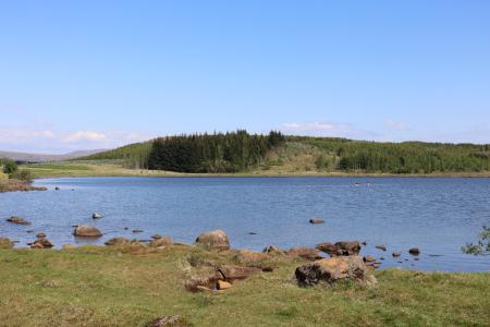
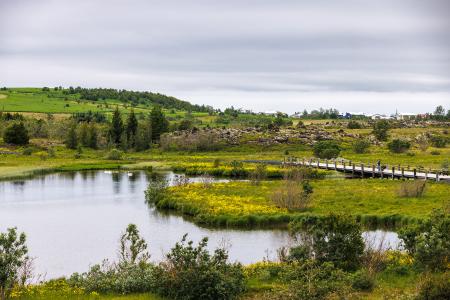
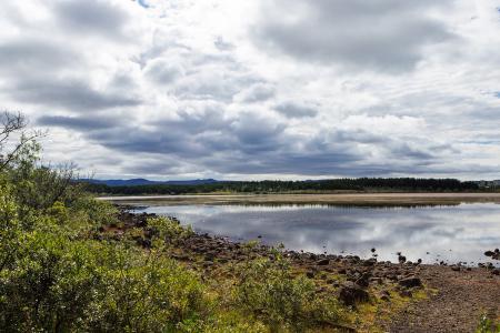
Reynisvatn
Outdoor Area
Reynisvatn is one of many small lakes found within the Greater Reykjavík Area. The surrounding…
Municipality
Reykjavík
Image
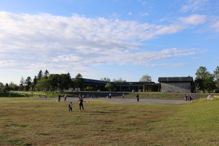
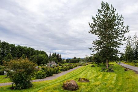
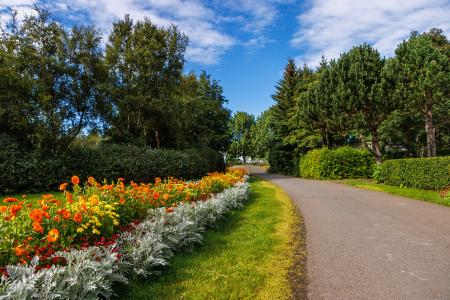
Klambratún
Outdoor Area
Klambratún is one of the larger public parks in Reykjavík and is a very popular outdoor…
Municipality
Reykjavík
Image
Hamarkotslækur
Outdoor Area
Hamarskotslækur, a picturesque stream with rich birdlife and scenic walking paths, flows…
Municipality
Hafnarfjörður
Image
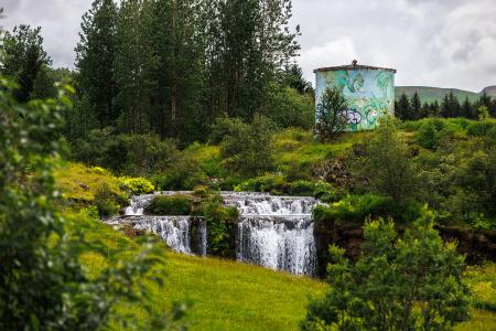
Varmá and Álafosskvos
Outdoor Area
Álafosskvos is a historic and scenic area featuring the Álafoss waterfall, trails through…
Municipality
Mosfellsbær
Image
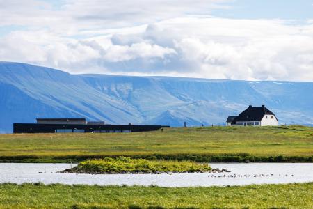
Urriðavatn
Outdoor Area
Urriðavatn and its surrounding wetlands form a beautiful landscape with diverse vegetation and…
Municipality
Garðabær
Image
Fossvogsdalur
Outdoor Area
Fossvogsdalur features walking and cycling paths, diverse sports facilities, an arboretum with…
Municipality
Kópavogur
Image
Kópavogsdalur
Outdoor Area
Kópavogsdalur is a fantastic outdoor recreational area with the Kópavogslækur stream running…
Municipality
Kópavogur
Image
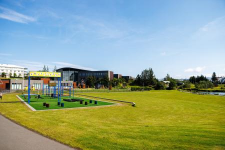
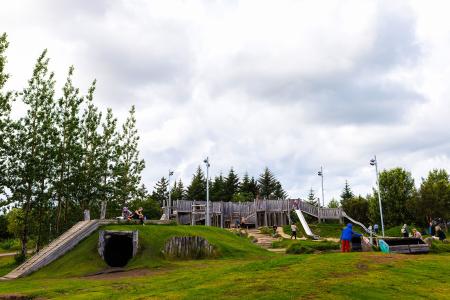
Gufunesbær recreational park
Outdoor Area
The recreational park at Gufunesbær is a play area that features, among other things, water…
Municipality
Reykjavík
Image
Rauðavatn
Outdoor Area
Rauðavatn is part of Austurheiðar, a vast region with numerous popular hiking trails,…
Municipality
Reykjavík
Image
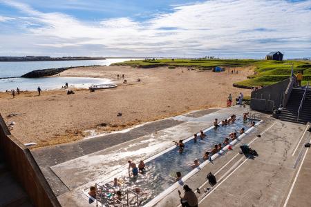
Nauthólsvík
Outdoor Area
Nauthólsvík Geothermal Beach is a paradise for people who love splashing around in the ocean…
Municipality
Reykjavík
Image
Laugardalur
Outdoor Area
Laugardalur valley and park is undoubtedly one of the most popular outdoor areas of Reykjavik,…
Municipality
Reykjavík
Image
Vestursvæðin
Outdoor Area
Vestursvæðin is an outdoor area featuring diverse birdlife, scenic walking and cycling paths,…
Municipality
Seltjarnarnes