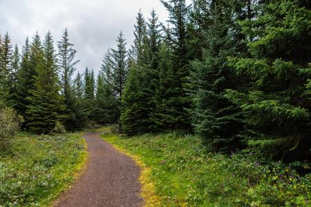
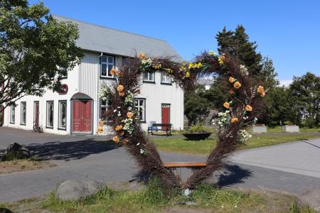
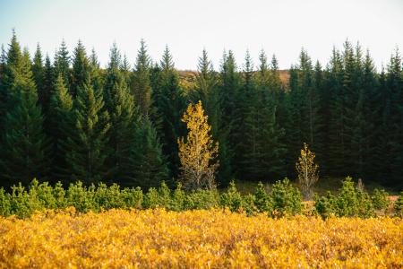
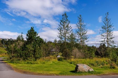
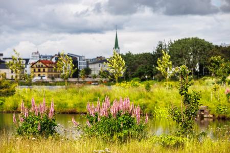
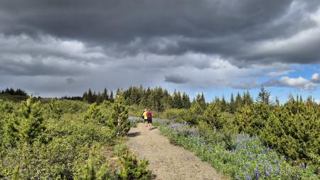
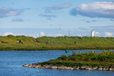
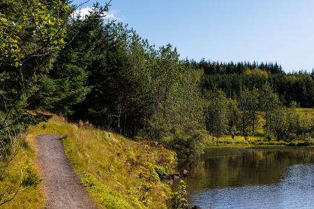
Bike and Hiking Routes Map of Bike and Hiking Routes Map of Outdoor Areas Sveitarfélag Hafnarfjörður Garðabær Kópavogur Reykjavík Seltjarnarnes Mosfellsbær Kjós Yfirborð Asphalt Timber Concrete Rock Gravel Wood chip Grass Rocky Tufts Swamp Lava Other Undefined Tímalengd 30 minutes 30 - 60 minutes 1 - 2 hours 2 - 3 hours 3 - 4 hours 6 - 10 hours Longer than 10 hours Flokkun leiðar Bike Walk Erfiðleikastig Erfiðleikastig 0 er auðveld leið og Erfiðleikastig 5 er mjög erfið leið For Everybody Level 1 Level 2 Level 3 Level 4 Image Strípur in Heiðmörk Walk: 4.28km Difficulty Level 2 Strípshringur is a trail in Heiðmörk which runs through well-vegetated forested areas and open… Reykjavík Image The Álftanes Circle Bike: 12.47km Difficulty Level 2 A light and accessible cycling route around Álftanes, offering views of the sea, peaceful… Garðabær Image The Elliðaárdalur Circle Walk: 2.48km Difficulty Level 1 A perfect family walk through the beautiful Hólmi area in Elliðaárdalur, offering scenic… Reykjavík Image The Forest Circle in Heiðmörk Walk: 3.50km Difficulty Level 1 The Forest Circle in Heiðmörk is a highly enjoyable and family-friendly hiking trail, spanning… Reykjavík Image The Garðabær Circle Walk: 7.08km Difficulty Level 2 This route starts at Vídalínskirkja, passing through historical sites such as Hofsstaðir and… Garðabær Image The Garðabær Circle Bike: 7.08km Difficulty Level 1 A scenic cycling route through the town of Garðabær. Garðabær Image The Heart of Hafnarfjörður Walk: 4.71km Difficulty For Everybody This scenic walk through Hafnarfjörður begins along the coast and winds through the enchanting… Hafnarfjörður Image The Hjalli Circle in Heiðmörk Walk: 7.98km Difficulty Level 2 The Hjalli Circle in Heiðmörk runs through diverse landscapes, including lava fields and birch… Reykjavík Image The Kópavogur Circle Bike: 11.73km Difficulty Level 1 A scenic cycling route around Kópavogur, which includes cycling along Kársnes and Fossvogur. Kópavogur Image The Linda-Sala Bike Route Bike: 9.69km Difficulty Level 2 A diverse 9 km cycling route through the Linda and Sala neighborhoods, within the historic… Kópavogur Image The Peninsula Circle Walk: 5.81km Difficulty For Everybody This route leads around Seltjarnarnes, offering breathtaking coastal views, diverse landmarks,… Seltjarnarnes Image The Reykjavík Circle Bike: 18.53km Difficulty Level 1 A fun cycling loop around Reykjavík, passing by many of the city's main landmarks. Reykjavík Image Running The Ríkishringur circle in Heiðmörk One of the most popular trail runs in the Reykjavík greater area, an approximately 12 km loop… Reykjavík Image The Seltjarnarnes Circle Walk: 3.55km Difficulty For Everybody A short and scenic walking route from the Seltjarnarnes swimming pool, following the northern… Seltjarnarnes Image The Sun Circle in Heiðmörk Walk: 5.69km Difficulty Level 2 The Sun Circle is a hiking route near Vífilsstaðavatn, located in the scenic Heiðmörk area. Garðabær Image The Water Circle in Heiðmörk Walk: 7.56km Difficulty Level 2 The Water Circle in Heiðmörk is a scenic walking and running route marked with blue posts,… Reykjavík Image The Water Circle in Heiðmörk Bike: 7.56km Difficulty Level 1 A scenic cycling route in Heiðmörk marked with blue posts, passing by lakes and educational… Reykjavík Image Úlfarsfell Walk: 4.34km Difficulty Level 1 Úlfarsfell is a popular and easily accessible hiking destination on the border of Reykjavík… Mosfellsbær Reykjavík Image Úlfarsfell from Skarhólabraut Walk: 3.55km Difficulty Level 1 A well-marked and family-friendly hiking trail from Skarhólabraut up to the top of Úlfarsfell… Mosfellsbær Reykjavík Image Úlfarsfell from the forestry area A popular trail run up Úlfarsfell, starting at the Hamrahlíð forestry area on the mountain's… Mosfellsbær Pagination First page « Fyrsta Previous page < Fyrri Page 1 Page 2 Page 3 Page 4 Next page Næsta › Last page Síðasta »