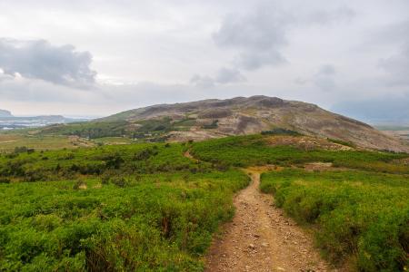
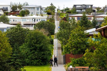
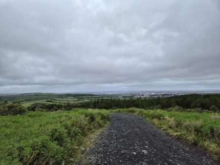
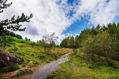
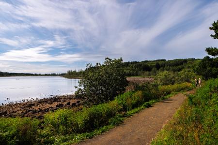
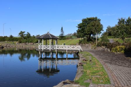
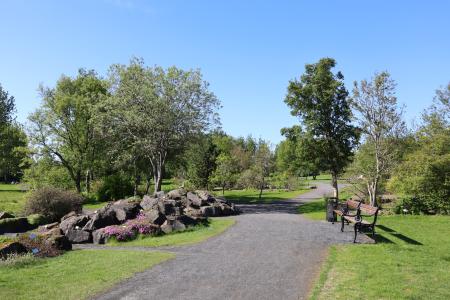
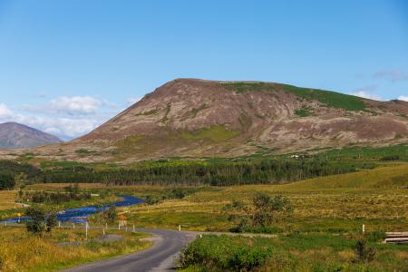
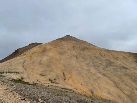
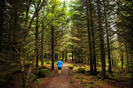
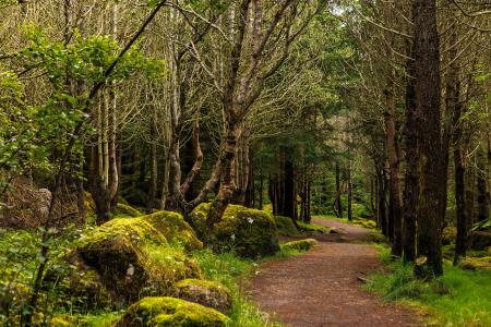
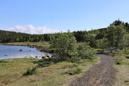
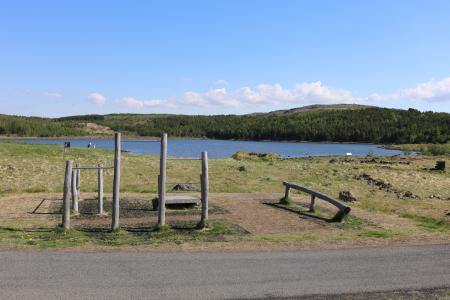
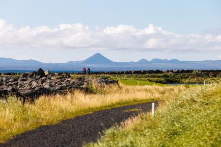
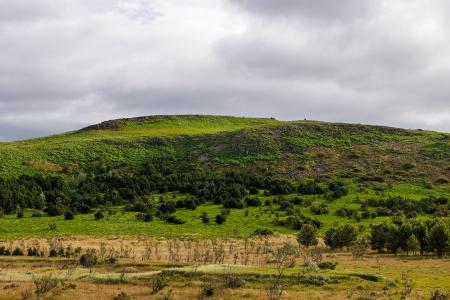
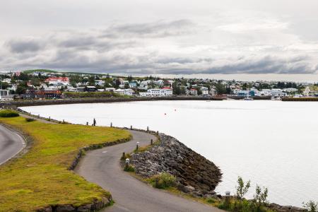
Bike and Hiking Routes Map of Bike and Hiking Routes Map of Outdoor Areas Sveitarfélag Hafnarfjörður Garðabær Kópavogur Reykjavík Seltjarnarnes Mosfellsbær Kjós Yfirborð Asphalt Timber Concrete Rock Gravel Wood chip Grass Rocky Tufts Swamp Lava Other Undefined Tímalengd 30 minutes 30 - 60 minutes 1 - 2 hours 2 - 3 hours 3 - 4 hours 6 - 10 hours Longer than 10 hours Flokkun leiðar Bike Walk Erfiðleikastig Erfiðleikastig 0 er auðveld leið og Erfiðleikastig 5 er mjög erfið leið For Everybody Level 1 Level 2 Level 3 Level 4 Image Helgafell in Hafnarfjörður Walk: 5.74km Difficulty Level 2 The ascent of Helgafellíð ranks among the most favored hikes in the capital region, offering a… Hafnarfjörður Image Helgafell in Mosfellsbær Walk: 1.89km Difficulty Level 1 The hike to Helgafell is a short and enjoyable trek, offering scenic views of Esja,… Mosfellsbær Image Himnastiginn, Víghóll and Heljarslóð Walk: 3.46km Difficulty Level 1 The route from Digraneskirkja to Víghóll is a scenic and historically rich hike with 207 steps… Kópavogur Image Running Hobbitastígur and Vífilsstaðahlíð An enjoyable trail run in Garðabær starting at the end of Vífilsstaðahlíð, traversing the… Garðabær Image Hólmsheiði and Rauðavatn Walk: 5.23km Difficulty Level 2 This scenic hike around Hólmsheiði and Rauðavatn leads through a diverse landscape of… Reykjavík Image Hvaleyrarvatn Walk: 1.96km Difficulty Level 1 Hvaleyrarvatn is a stunning outdoor area with numerous walking trails, including a short and… Hafnarfjörður Image Kópavogsdalur and Kópavogstún Walk: 3.27km Difficulty For Everybody A short and scenic walking route through Kópavogsdalur and Kópavogstún, well suited for… Kópavogur Image Laugardalur Walk: 2.92km Difficulty Level 1 A light and accessible walking route that starts at Laugardalslaug Swimming Pool. The path… Reykjavík Image Mosfell Walk: 3.75km Difficulty Level 1 The path up Mosfell is a well-marked and family-friendly circular hiking route with scenic… Mosfellsbær Image Móskarðshnjúkar Walk: 8.03km Difficulty Level 3 Móskarðshnjúkar are two majestic peaks east of Esja, offering a challenging but well-marked… Reykjavík Image Öskjuhlíð Walk: 5.99km Difficulty Level 2 Öskjuhlíð is a unique recreational area near downtown Reykjavík with diverse nature and… Reykjavík Image Öskjuhlíð Bike: 5.99km Difficulty Level 2 This bike trail in Öskjuhlíð offers a scenic ride through forested areas and historical… Reykjavík Image Reykjaborg and Lali Walk: 6.86km Difficulty Level 2 The two mountains Reykjaborg and Lali are neither steep nor high, making them ideal for a… Mosfellsbær Image Reynisvatn Walk: 1.49km Difficulty Level 1 A light and beautiful walking trail in a peaceful environment by Reynisvatn, east of… Reykjavík Image Running Reynisvatn circle A varied trail run by Reynisvatn east of Grafarholt. An approximately 9.5 km loop that uses… Reykjavík Image Selfjall and Sandfell Walk: 6.19km Difficulty Level 2 Selfjall and Sandfell are easily accessible and scenic hiking destinations on the outskirts of… Kópavogur Image Seltjarnarnes and golf course Walk: 7.57km Difficulty Level 2 A stunning walking trail that goes around Seltjarnarnes and the golf course near Grótta. Seltjarnarnes Image Seltjarnarnes and golf course Bike: 7.57km Difficulty Level 1 A cycling route that loops around Seltjarnarnes and the golf course, offering scenic coastal… Seltjarnarnes Image Stórhöfði Walk: 4.79km Difficulty Level 1 The Stórhöfði loop near Hvaleyrarvatn is a family-friendly hike with scenic views of Helgafell… Hafnarfjörður Image Strandstígur Walk: 4.07km Difficulty For Everybody Strandstígurinn is a scenic walking path along Hafnarfjörður harbor, featuring beautiful views… Hafnarfjörður Pagination First page « Fyrsta Previous page < Fyrri Page 1 Page 2 Page 3 Page 4 Next page Næsta › Last page Síðasta »