Skip to main content
Út um allt ... höfuðborgarsvæðið
en
is
Enter a search string
Walk
Bike
Municipality
Reykjavík
Garðabær
Mosfellsbær
Kópavogur
Hafnarfjörður
Seltjarnarnes
Path Surface
Other
Asphalt
Gravel
Grass
Rocky
Swamp
Lava
Tufts
Facet Path Surface
Duration
1 - 2 hours
30 - 60 minutes
2 - 3 hours
30 minutes
Facet Duration
Difficulty
(-)
Level 1
(-)
Level 2
For Everybody
Level 3
Facet Difficulty
Area Access
Facet Area Access
Area services
Facet Area services
Area Type
Facet Area Type
Home
Bike and Hiking Routes
Map of Bike and Hiking Routes
Outdoor Areas
Map of Outdoor Areas
About the Website
How do I use the Website?
Visit Reykjavík
Image
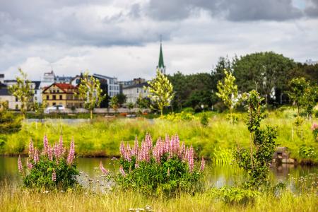
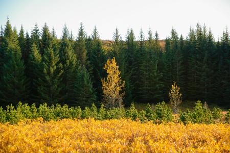
Guðmundarlundur and Elliðavatn
Walk:
5.01km
Difficulty
Level 1
This circular hiking route, starting at Guðmundarlundur, goes around the uninhabited…
Kópavogur
Image
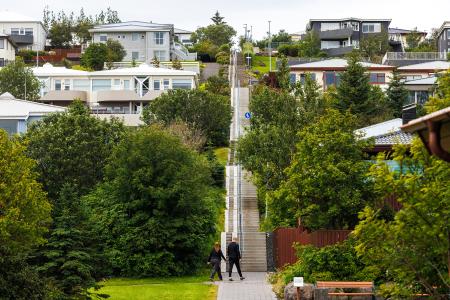
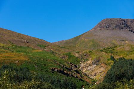
Himnastiginn, Víghóll and Heljarslóð
Walk:
3.46km
Difficulty
Level 1
The route from Digraneskirkja to Víghóll is a scenic and historically rich hike with 207 steps…
Kópavogur
Image
The Reykjavík Circle
Bike:
18.53km
Difficulty
Level 1
A fun cycling loop around Reykjavík, passing by many of the city's main landmarks.
Reykjavík
Image
The Kópavogur Circle
Bike:
11.73km
Difficulty
Level 1
A scenic cycling route around Kópavogur, which includes cycling along Kársnes and Fossvogur.
Kópavogur
Image
Seltjarnarnes and golf course
Bike:
7.57km
Difficulty
Level 1
A cycling route that loops around Seltjarnarnes and the golf course, offering scenic coastal…
Seltjarnarnes
Image
The Water Circle in Heiðmörk
Bike:
7.56km
Difficulty
Level 1
A scenic cycling route in Heiðmörk marked with blue posts, passing by lakes and educational…
Reykjavík
Image
The Garðabær Circle
Bike:
7.08km
Difficulty
Level 1
A scenic cycling route through the town of Garðabær.
Garðabær
Image
Fossvogsdalur
Bike:
6.27km
Difficulty
Level 1
Biking through Fossvogsdalur offers a scenic ride along lush trails, with vibrant birdlife and…
Kópavogur
Reykjavík
Image
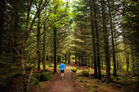
The Hjalli Circle in Heiðmörk
Walk:
7.98km
Difficulty
Level 2
The Hjalli Circle in Heiðmörk runs through diverse landscapes, including lava fields and birch…
Reykjavík
Image
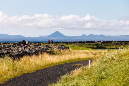
The Álftanes Circle
Bike:
12.47km
Difficulty
Level 2
A light and accessible cycling route around Álftanes, offering views of the sea, peaceful…
Garðabær
Image
Esjan up to Steinn
Walk:
6.69km
Difficulty
Level 2
The hike up Esjan is probably the most popular hiking trail in the capital area.
Reykjavík
Image
The Linda-Sala Bike Route
Bike:
9.69km
Difficulty
Level 2
A diverse 9 km cycling route through the Linda and Sala neighborhoods, within the historic…
Kópavogur
Image
Öskjuhlíð
Walk:
5.99km
Difficulty
Level 2
Öskjuhlíð is a unique recreational area near downtown Reykjavík with diverse nature and…
Reykjavík
Image
Around Helgafell in Hafnarfjörður
Walk:
8.34km
Difficulty
Level 2
The hike up Helgafell in Hafnarfjörður is very popular among locals, but walking the scenic…
Hafnarfjörður
Image
Reykjaborg and Lali
Walk:
6.86km
Difficulty
Level 2
The two mountains Reykjaborg and Lali are neither steep nor high, making them ideal for a…
Mosfellsbær
Image
Cycling through Hafnarfjörður
Bike:
18.04km
Difficulty
Level 2
Cycling route from Ásvallalaug in Hafnarfjörður via Hvaleyrarvatn, featuring both paved and…
Hafnarfjörður
Image
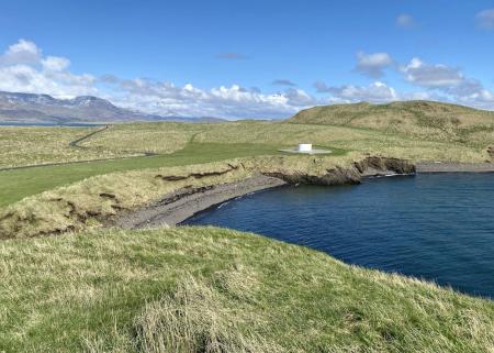
Viðey
Walk:
8.04km
Difficulty
Level 2
The walking route around Viðey is easy and enjoyable, where nature, history, and art…
Reykjavík
Image
Eldborg, Stóra Kóngsfell and Drottning
Walk:
5.31km
Difficulty
Level 2
A beautiful hiking route that begins at Eldborg in Bláfjöll. The path leads through moss…
Kópavogur
Image
Helgafell in Hafnarfjörður
Walk:
5.74km
Difficulty
Level 2
The ascent of Helgafellíð ranks among the most favored hikes in the capital region, offering a…
Hafnarfjörður
Image
Æsustaðafell and Reykjafell
Walk:
6.32km
Difficulty
Level 2
The hike to Æsustaðafjall and Reykjafell is a family-friendly loop in Mosfellsdalur, featuring…
Mosfellsbær
Pagination
First page
« First
Previous page
‹‹
Page
1
Page
2
Page
3
Next page
››
Last page
Last »