Skip to main content
Út um allt ... höfuðborgarsvæðið
en
is
Home
Hiking Routes
Map of Hiking Routes
Bike Routes
Map of Bike Routes
Running Routes
Map of Running Routes
Outdoor Areas
Map of Outdoor Areas
Swimming Pools
Map of Swimming Pools
About the Website
How do I use the Website?
Visit Reykjavík
Public Transport
Accessible by public transport
Image
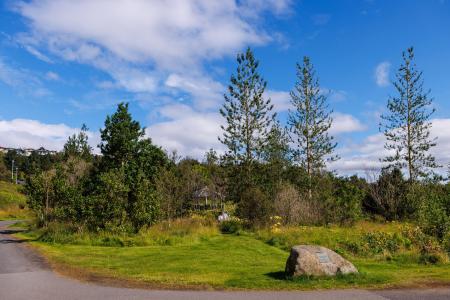
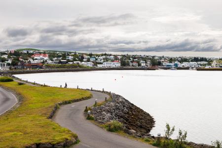
The Kópavogur Circle
Bike:
11.73km
Difficulty
Level 1
A scenic cycling route around Kópavogur, which includes cycling along Kársnes and Fossvogur.
Kópavogur
Image
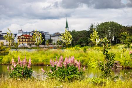
The Reykjavík Circle
Bike:
18.53km
Difficulty
Level 1
A fun cycling loop around Reykjavík, passing by many of the city's main landmarks.
Reykjavík
Image
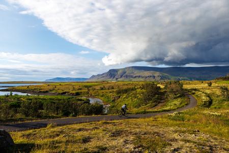
Fossvogur to Gljúfrasteinn
Bike:
45.77km
Difficulty
Level 3
A challenging yet stunning cycling route, spanning from Kópavogur to Mosfellsbær.
Mosfellsbær
Reykjavík
Kópavogur
Image
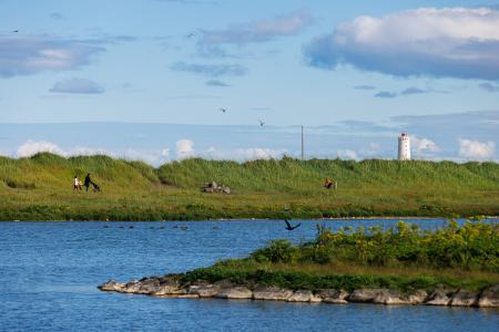
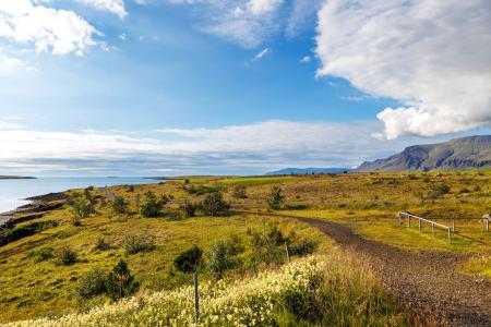
The Peninsula Circle
Walk:
5.81km
Difficulty
For Everybody
This route leads around Seltjarnarnes, offering breathtaking coastal views, diverse landmarks,…
Seltjarnarnes
Image
The Elliðaárdalur Circle
Walk:
2.48km
Difficulty
Level 1
A perfect family walk through the beautiful Hólmi area in Elliðaárdalur, offering scenic…
Reykjavík
Image
The Seltjarnarnes Circle
Walk:
3.55km
Difficulty
For Everybody
A short and scenic walking route from the Seltjarnarnes swimming pool, following the northern…
Seltjarnarnes
Image
Seltjarnarnes and golf course
Walk:
7.57km
Difficulty
Level 2
A stunning walking trail that goes around Seltjarnarnes and the golf course near Grótta.
Seltjarnarnes
Image
The Garðabær Circle
Walk:
7.08km
Difficulty
Level 2
This route starts at Vídalínskirkja, passing through historical sites such as Hofsstaðir and…
Garðabær
Image
Ásfjall and Ástjörn
Walk:
4.25km
Difficulty
Level 1
Ásfjall is renowned as one of the most scenic mountains in the capital area due to the clear…
Hafnarfjörður
Image
Strandstígur
Walk:
4.07km
Difficulty
For Everybody
Strandstígurinn is a scenic walking path along Hafnarfjörður harbor, featuring beautiful views…
Hafnarfjörður
Image
Blikastaðanes
Walk:
2.93km
Difficulty
For Everybody
A short and beautiful trail suitable for everyone. The walk follows the coastline, offering…
Mosfellsbær
Image
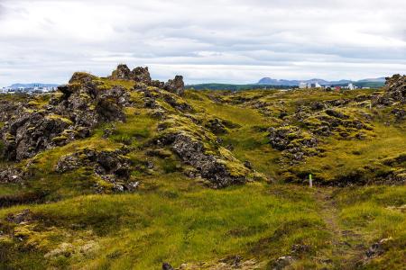
Fógetastígur in Gálgahraun
Walk:
4.17km
Difficulty
Level 1
A stunning walk around the Gálgahraun lava field, where geological formations, birdlife, and…
Garðabær
Image
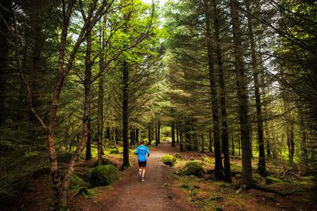
Öskjuhlíð
Walk:
5.99km
Difficulty
Level 2
Öskjuhlíð is a unique recreational area near downtown Reykjavík with diverse nature and…
Reykjavík
Image
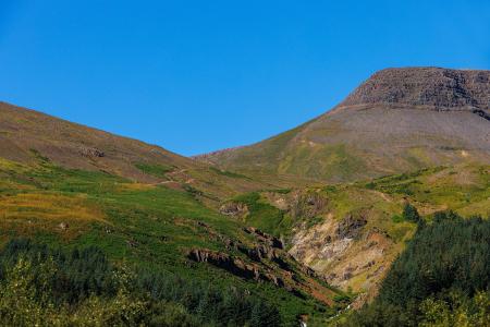
Esjan up to Steinn
Walk:
6.69km
Difficulty
Level 2
The hike up Esjan is probably the most popular hiking trail in the capital area.
Reykjavík
Image
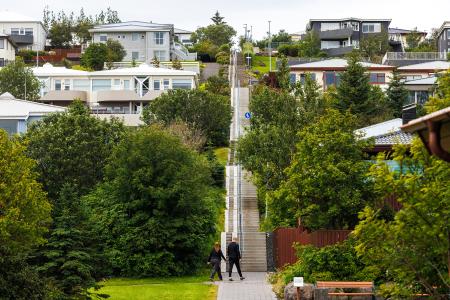
Himnastiginn, Víghóll and Heljarslóð
Walk:
3.46km
Difficulty
Level 1
The route from Digraneskirkja to Víghóll is a scenic and historically rich hike with 207 steps…
Kópavogur
Image
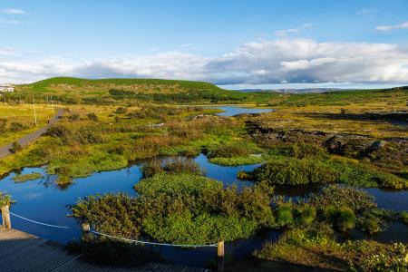
Guðmundarlundur and Elliðavatn
Walk:
5.01km
Difficulty
Level 1
This circular hiking route, starting at Guðmundarlundur, goes around the uninhabited…
Kópavogur
Image
Fossvogsdalur
Walk:
6.27km
Difficulty
Level 1
The trail provides a great insight into the nature and history of this sheltered valley.
Kópavogur
Reykjavík
Pagination
First page
« First
Previous page
‹‹
Page
1
Page
2