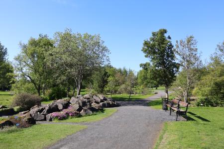
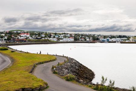
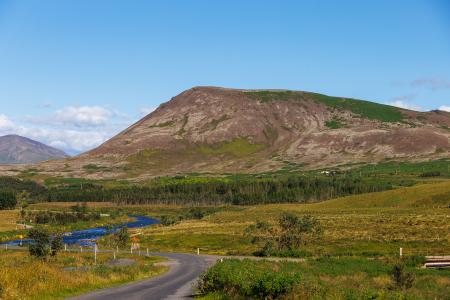
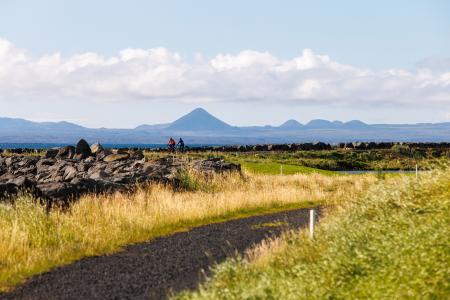
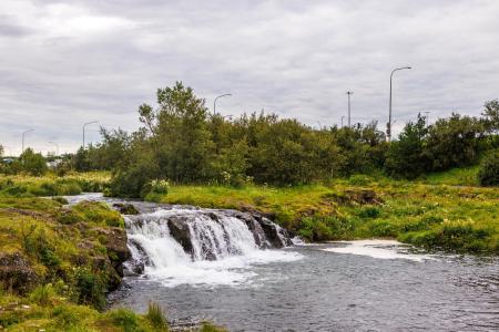
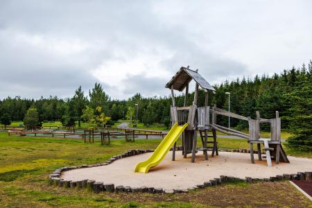
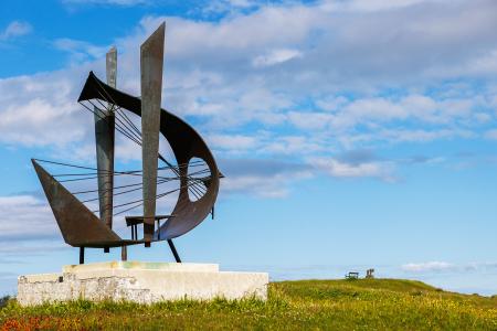
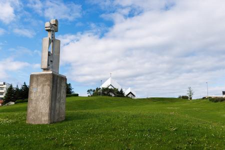
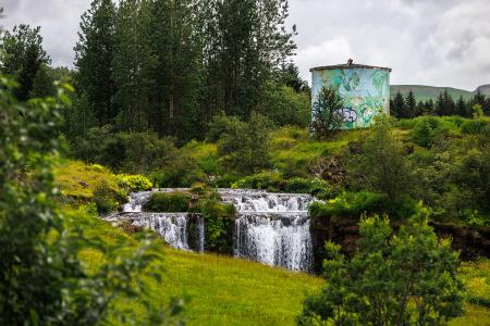
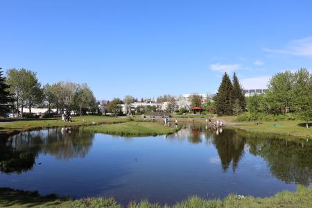
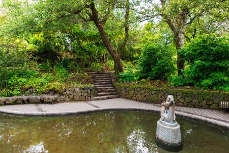
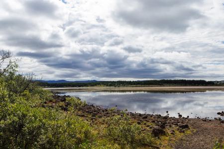
Hiking Routes in the Capital Area Map of Bike and Hiking Routes Map of Outdoor Areas Image Laugardalur Walk: 2.92km Difficulty Level 1 A light and accessible walking route that starts at Laugardalslaug Swimming Pool. The path… Reykjavík Image The Peninsula Circle Walk: 5.81km Difficulty For Everybody This route leads around Seltjarnarnes, offering breathtaking coastal views, diverse landmarks,… Seltjarnarnes Image Strandstígur Walk: 4.07km Difficulty For Everybody Strandstígurinn is a scenic walking path along Hafnarfjörður harbor, featuring beautiful views… Hafnarfjörður Image Mosfell Walk: 3.75km Difficulty Level 1 The path up Mosfell is a well-marked and family-friendly circular hiking route with scenic… Mosfellsbær All bike and hiking routes Bike Routes in the Capital Area Map of Bike and Hiking Routes Map of Outdoor Areas Image Seltjarnarnes and golf course Bike: 7.57km Difficulty Level 1 A cycling route that loops around Seltjarnarnes and the golf course, offering scenic coastal… Seltjarnarnes Image Cycling through Hafnarfjörður Bike: 18.04km Difficulty Level 2 Cycling route from Ásvallalaug in Hafnarfjörður via Hvaleyrarvatn, featuring both paved and… Hafnarfjörður Image Elliðaárdalur Bike: 8.19km Difficulty Level 2 A bike tour through Elliðaárdalur with scenic river paths, surrounded by lush greenery and… Reykjavík Image The Álftanes Circle Bike: 12.47km Difficulty Level 2 A light and accessible cycling route around Álftanes, offering views of the sea, peaceful… Garðabær All bike and hiking routes Outdoor Areas in the Capital Area Map of Bike and Hiking Routes Map of Outdoor Areas Image Guðmundarlundur Outdoor Area Guðmundarlundur is a scenic outdoor recreation area on the outskirts of Kópavogur, featuring a… Municipality Kópavogur Image Valhúsahæð Outdoor Area Valhúsahæð, the highest point in Seltjarnarnes at 31 meters above sea level, is a popular… Municipality Seltjarnarnes Image Plútóbrekka Outdoor Area Plútóbrekkan, located below Seltjarnarneskirkja, is a popular spot for winter sledding and… Municipality Seltjarnarnes Image Varmá and Álafosskvos Outdoor Area Álafosskvos is a historic and scenic area featuring the Álafoss waterfall, trails through… Municipality Mosfellsbær Image Seljatjörn Outdoor Area Seljatjörn is an outdoor gem in the heart of the Seljahverfi neighborhood in Breiðholt. The… Municipality Reykjavík Image Hellisgerði Outdoor Area Hellisgerði is a magical outdoor area in the center of Hafnarfjörður. Municipality Hafnarfjörður Image Rauðavatn Outdoor Area Rauðavatn is part of Austurheiðar, a vast region with numerous popular hiking trails,… Municipality Reykjavík Image Sjálandshverfi Outdoor Area The beach in the Sjáland neighborhood is a popular outdoor spot with shell sand, a playground,… Municipality Garðabær All Outdoor Areas