Skip to main content
Út um allt ... höfuðborgarsvæðið
en
is
Enter a search string
(-)
Walk
Bike
Municipality
Reykjavík
Garðabær
Kópavogur
Mosfellsbær
Hafnarfjörður
Seltjarnarnes
Path Surface
Other
Asphalt
Gravel
Grass
Lava
Tufts
Rocky
Facet Path Surface
Duration
1 - 2 hours
(-)
30 - 60 minutes
(-)
2 - 3 hours
3 - 4 hours
Facet Duration
Difficulty
Level 1
Level 2
For Everybody
Level 3
Facet Difficulty
Area Access
Facet Area Access
Area services
Facet Area services
Area Type
Facet Area Type
Home
Bike and Hiking Routes
Map of Bike and Hiking Routes
Outdoor Areas
Map of Outdoor Areas
About the Website
How do I use the Website?
Visit Reykjavík
Image
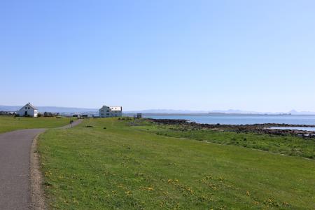
Æðisíða
Walk:
3.06km
Difficulty
For Everybody
An easy and enjoyable walking path along Ægisíða that starts at the Vesturbær Swimming Pool…
Reykjavík
Image
Laugardalur
Walk:
2.92km
Difficulty
Level 1
A light and accessible walking route that starts at Laugardalslaug Swimming Pool. The path…
Reykjavík
Image
Reynisvatn
Walk:
1.49km
Difficulty
Level 1
A light and beautiful walking trail in a peaceful environment by Reynisvatn, east of…
Reykjavík
Image
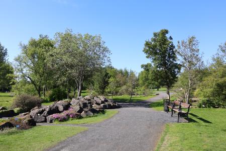
Kópavogsdalur and Kópavogstún
Walk:
3.27km
Difficulty
For Everybody
A short and scenic walking route through Kópavogsdalur and Kópavogstún, well suited for…
Kópavogur
Image
Urriðavatn
Walk:
3.21km
Difficulty
Level 1
A short and easy walking route around Urriðavatn in Garðabær. The surroundings of the lake are…
Garðabær
Image
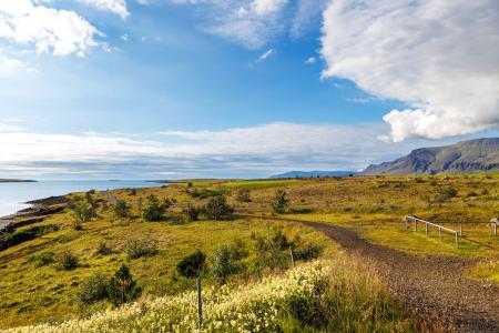
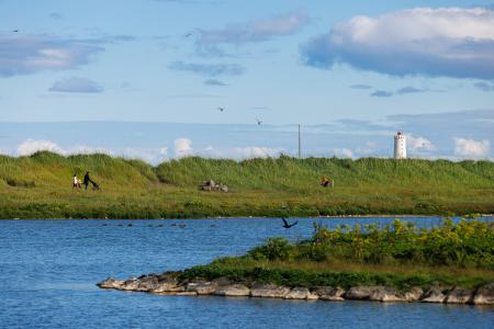
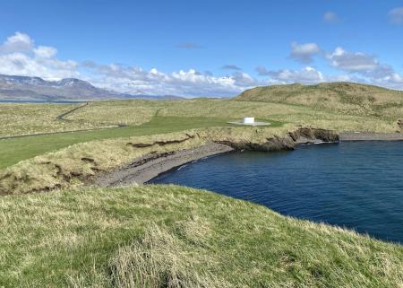
Blikastaðanes
Walk:
2.93km
Difficulty
For Everybody
A short and beautiful trail suitable for everyone. The walk follows the coastline, offering…
Mosfellsbær
Image
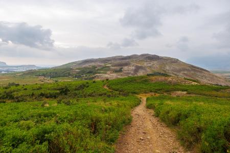
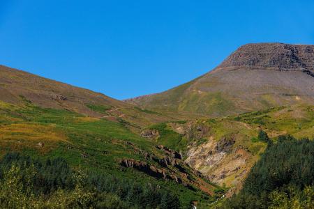
Helgafell in Mosfellsbær
Walk:
1.89km
Difficulty
Level 1
The hike to Helgafell is a short and enjoyable trek, offering scenic views of Esja,…
Mosfellsbær
Image
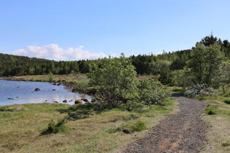
Hvaleyrarvatn
Walk:
1.96km
Difficulty
Level 1
Hvaleyrarvatn is a stunning outdoor area with numerous walking trails, including a short and…
Hafnarfjörður
Image
Strandstígur
Walk:
4.07km
Difficulty
For Everybody
Strandstígurinn is a scenic walking path along Hafnarfjörður harbor, featuring beautiful views…
Hafnarfjörður
Image
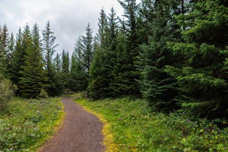
The Forest Circle in Heiðmörk
Walk:
3.50km
Difficulty
Level 1
The Forest Circle in Heiðmörk is a highly enjoyable and family-friendly hiking trail, spanning…
Reykjavík
Image
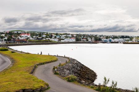
The Seltjarnarnes Circle
Walk:
3.55km
Difficulty
For Everybody
A short and scenic walking route from the Seltjarnarnes swimming pool, following the northern…
Seltjarnarnes
Image
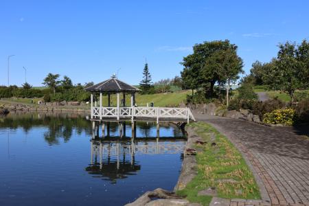
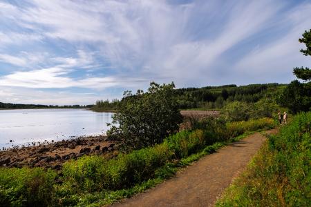
The Elliðaárdalur Circle
Walk:
2.48km
Difficulty
Level 1
A perfect family walk through the beautiful Hólmi area in Elliðaárdalur, offering scenic…
Reykjavík
Image
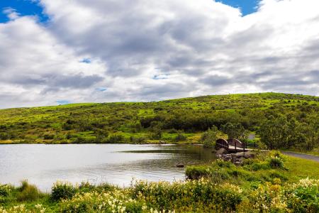
Vífilsstaðavatn
Walk:
2.62km
Difficulty
Level 1
A short and enjoyable walking trail around Vífilsstaðavatn, perfect for anyone looking to…
Garðabær
Image
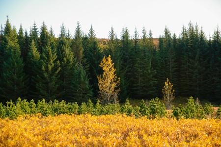
The Hjalli Circle in Heiðmörk
Walk:
7.98km
Difficulty
Level 2
The Hjalli Circle in Heiðmörk runs through diverse landscapes, including lava fields and birch…
Reykjavík
Image
Esjan up to Steinn
Walk:
6.69km
Difficulty
Level 2
The hike up Esjan is probably the most popular hiking trail in the capital area.
Reykjavík
Image
Viðey
Walk:
8.04km
Difficulty
Level 2
The walking route around Viðey is easy and enjoyable, where nature, history, and art…
Reykjavík
Image
Around Bessastaðatjörn
Walk:
6.50km
Difficulty
Level 1
A walking route around Bessastaðatjörn in a historically rich setting. Along the way, you can…
Garðabær
Image
Eldborg, Stóra Kóngsfell and Drottning
Walk:
5.31km
Difficulty
Level 2
A beautiful hiking route that begins at Eldborg in Bláfjöll. The path leads through moss…
Kópavogur
Image
Grímannsfell
Walk:
5.54km
Difficulty
Level 2
Embark on a hike to Mosfellsbær's highest peak and be rewarded with breathtaking views from…
Mosfellsbær
Image
The Garðabær Circle
Walk:
7.08km
Difficulty
Level 2
This route starts at Vídalínskirkja, passing through historical sites such as Hofsstaðir and…
Garðabær
Pagination
Page
1
Page
2
Next page
››
Last page
Last »